Den Bosch

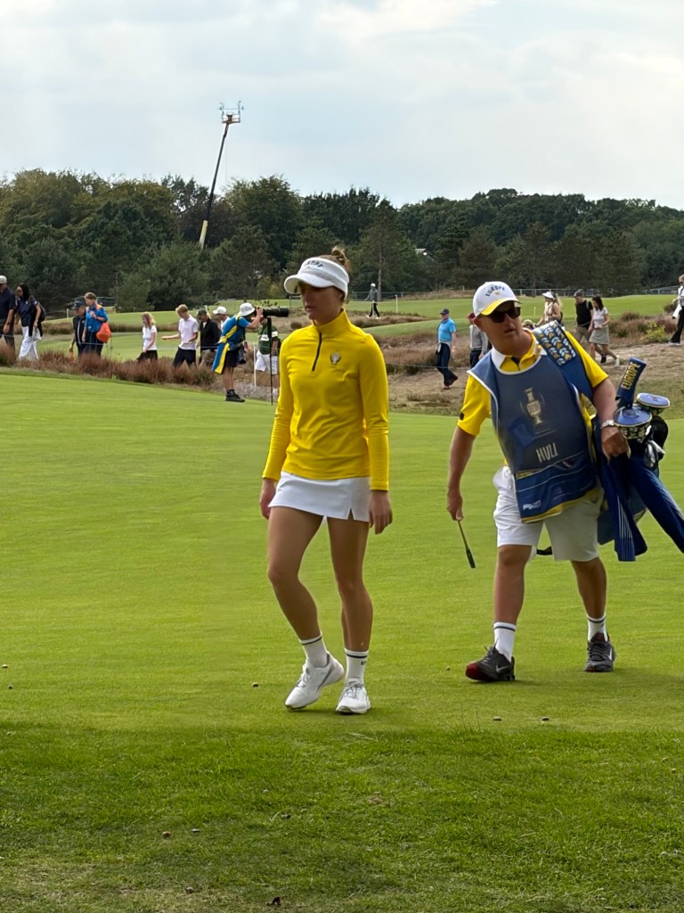
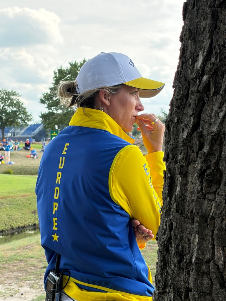
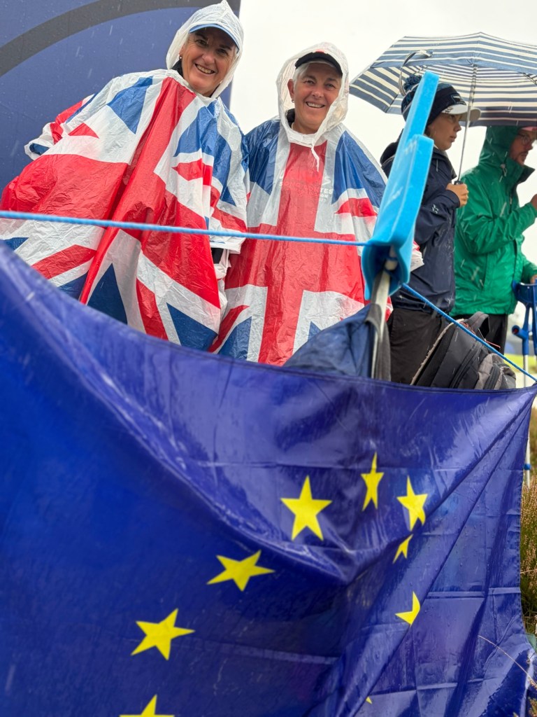
We left our campsite just outside of Arnhem around 11.00 on Tuesday, September 8 to make our way to Camping Distelloo, some 60 plus miles away in the Brabant region of The Netherlands. This would be our home for the next six nights whilst we watch the Solheim Cup. This is a biannual golf match between Europe and the USA featuring some of the best women golfers in the world. As you can imagine, the rivalry is intense but also played with mutual respect. That goes for the spectators as well. We obviously wanted Europe to win but it’s equally a showcase for women’s sport which so rarely gets the media coverage it should.

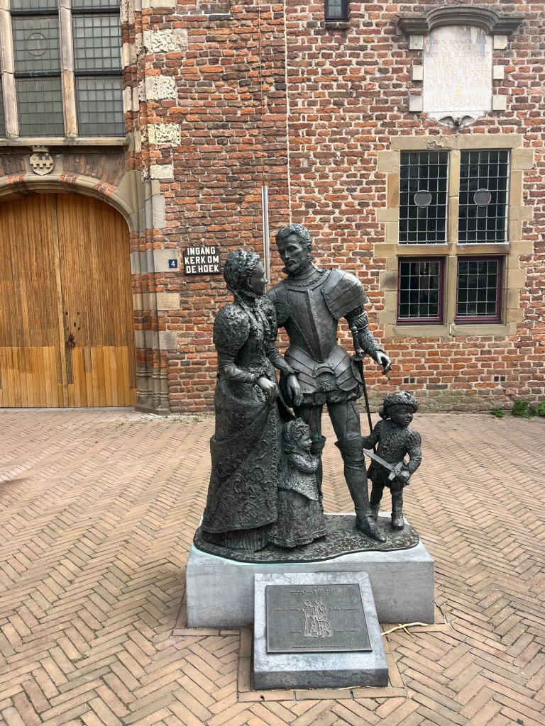
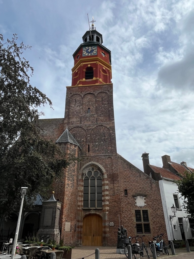
Anyway, before we arrive at our campsite outside of ‘s Hertogenbosch (known as Den Bosch, woods in English) we pop into the lovely town of Buren. This was the home of Anna van Egmond, the first wife of William of Orange and became part of the Orange family dynasty. Although the town promotes its connection as much as possible, it is still a quaint little town. It had the added advantage of easy parking and a supermarket close by.
We then drove onto our campsite, which was set in the woods. We found it via a google search as it wasn’t on any of our apps.
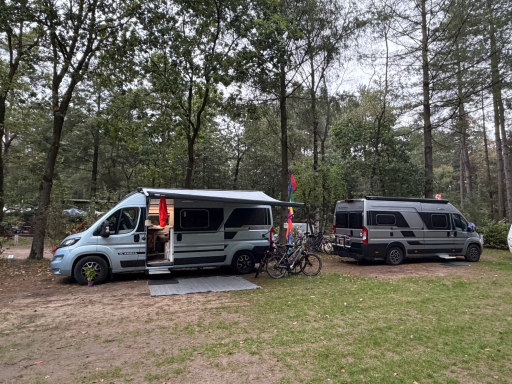
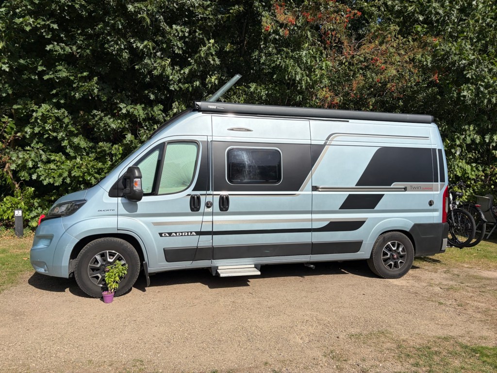
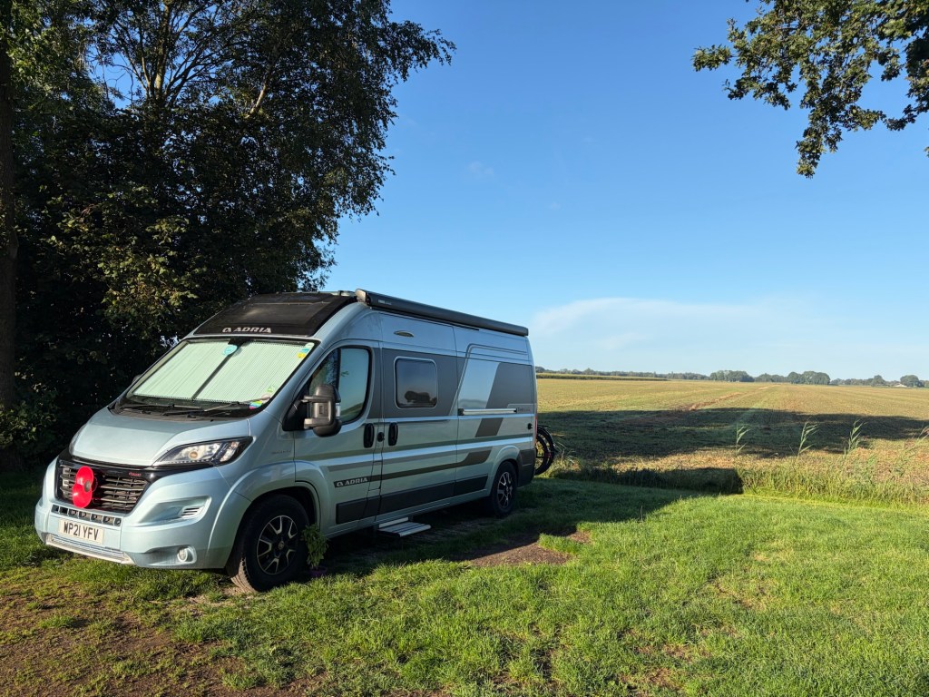
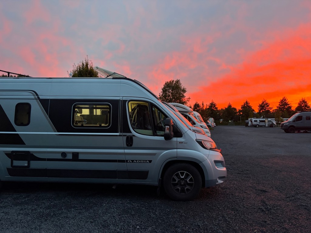
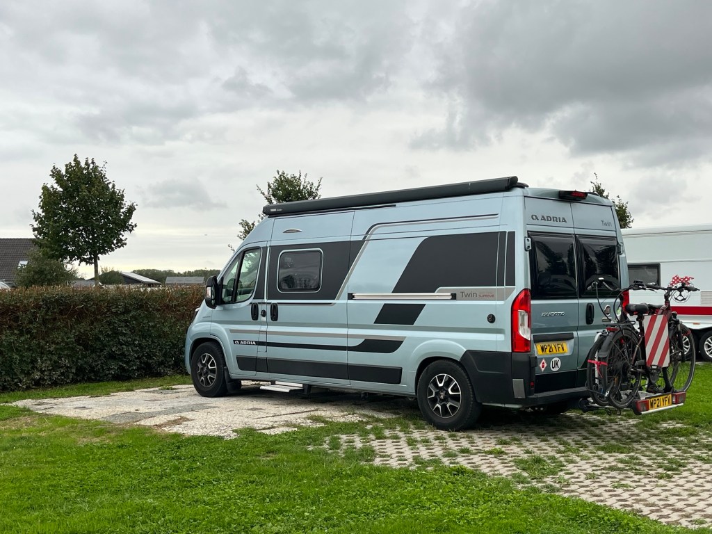
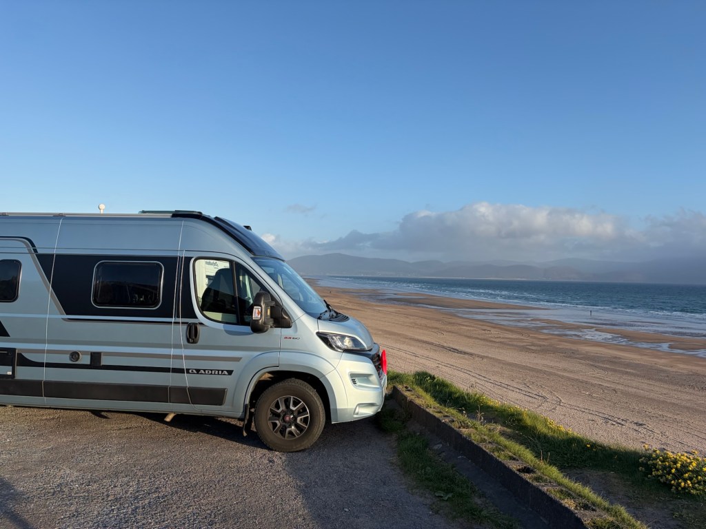
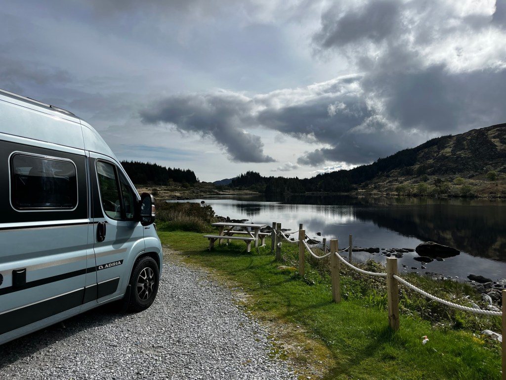
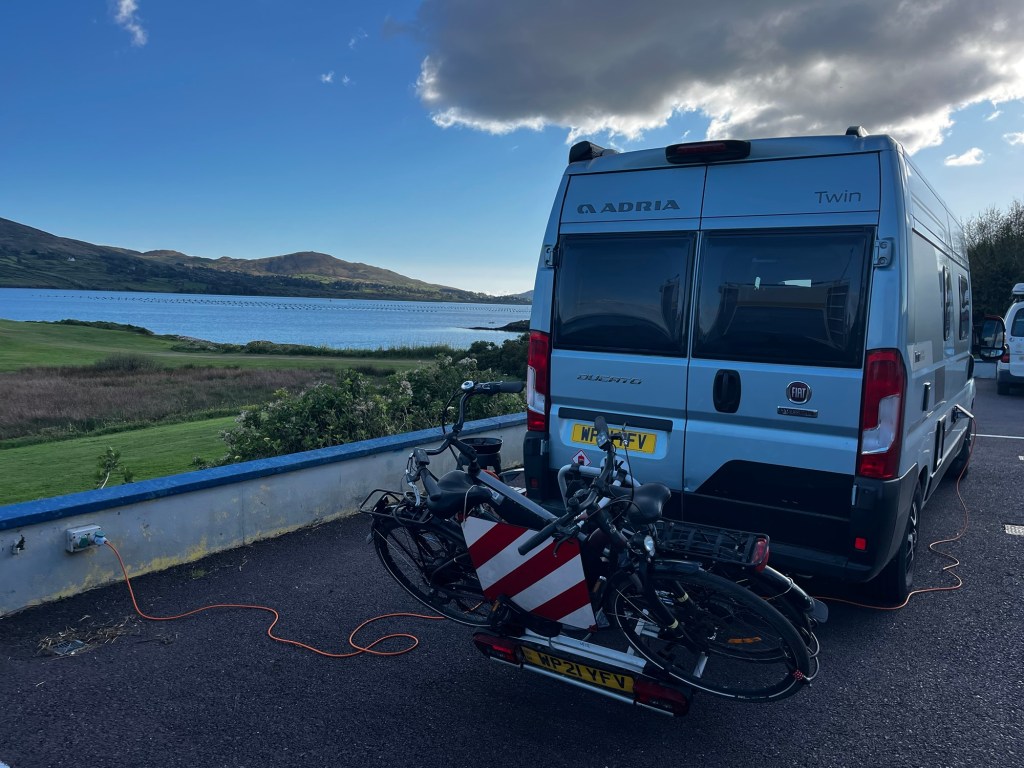
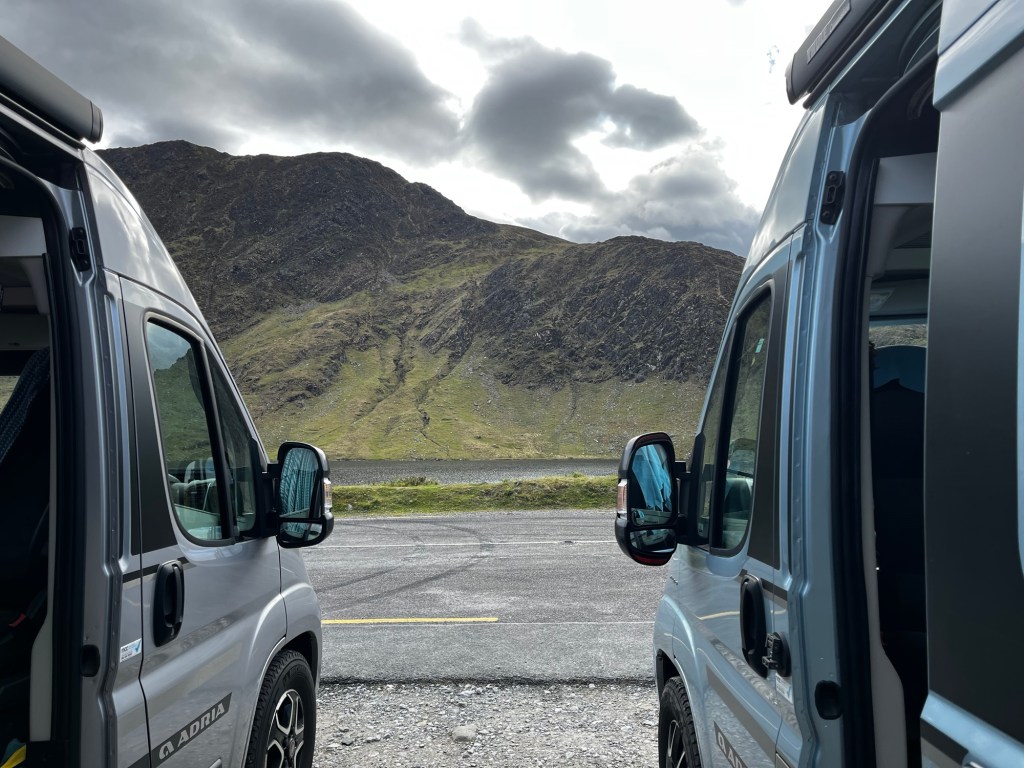
Dora with our friends Adria Twin.

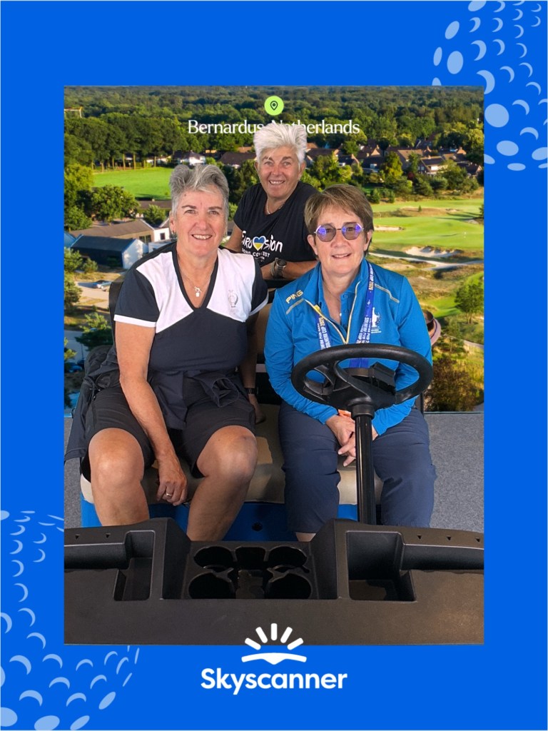
It became full over the week with many campervans and motor homes, mainly for the golf as it was only a ten minute cycle ride through the woods to the cycle park at Bernardus Golf Club. The organisers were running shuttle buses to and from various locations, including Den Bosch, so we jumped on one on Weds afternoon to see the city. Torrential rain was also forecast so it seemed a good idea as it was only a practice day for the players.
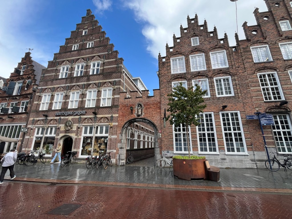
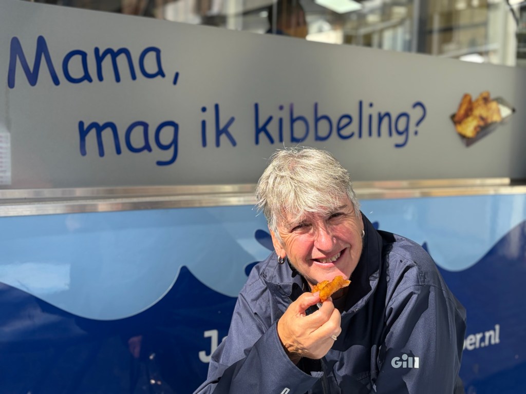
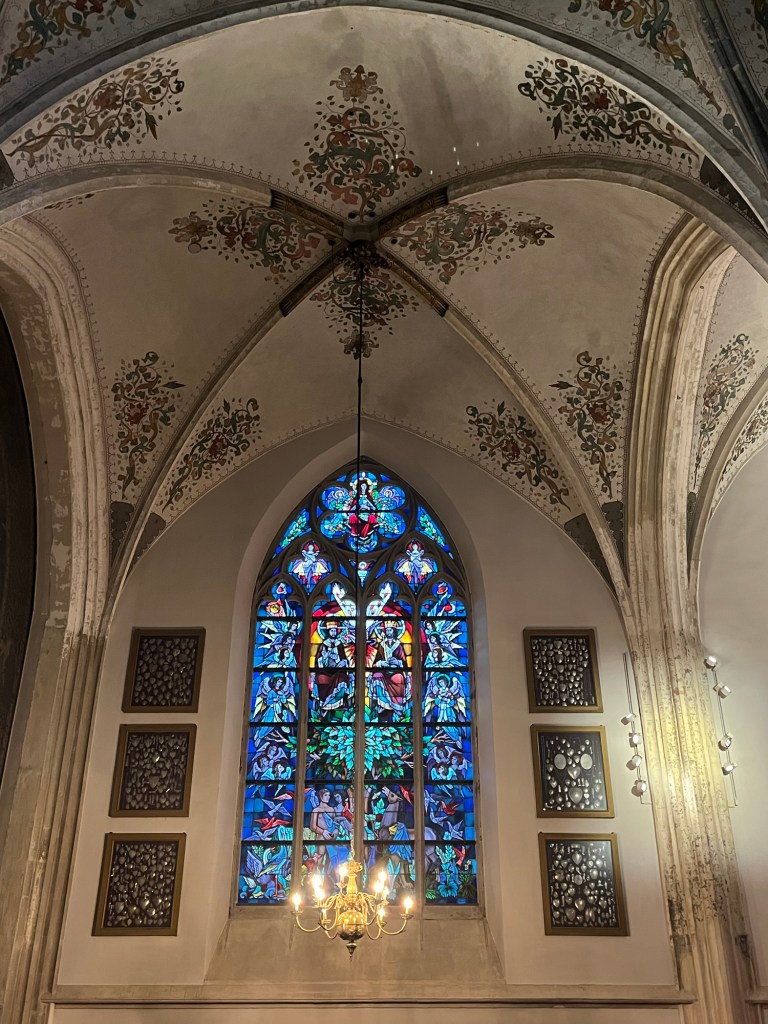
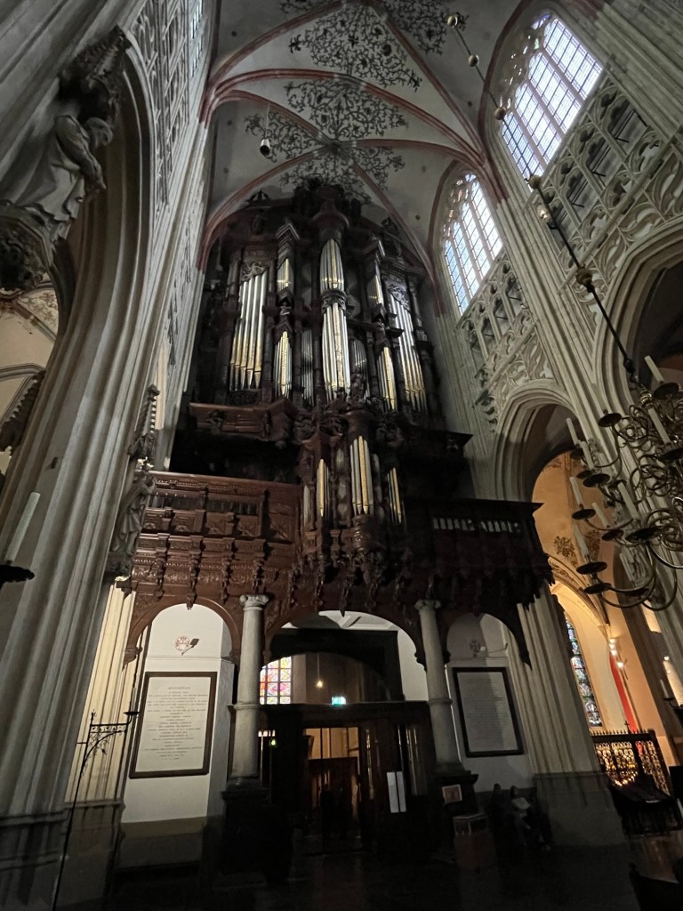
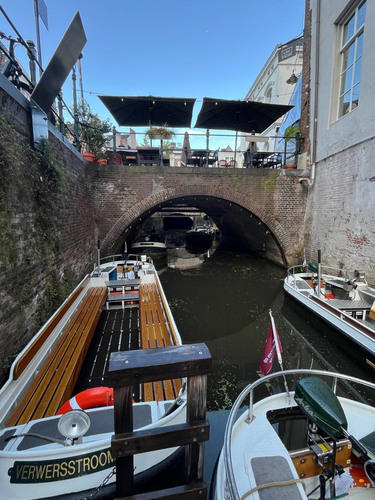
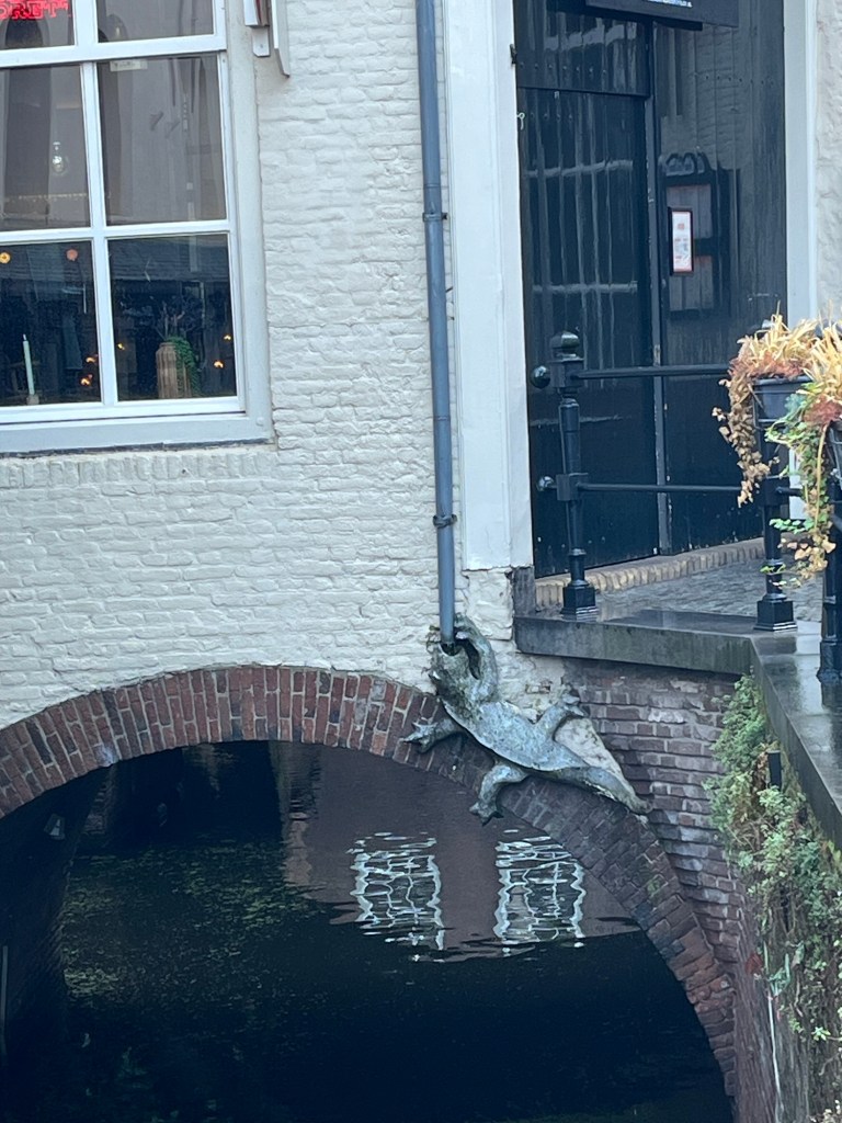
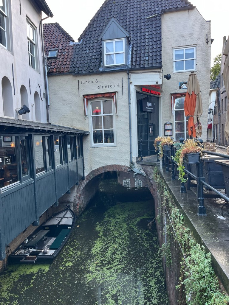
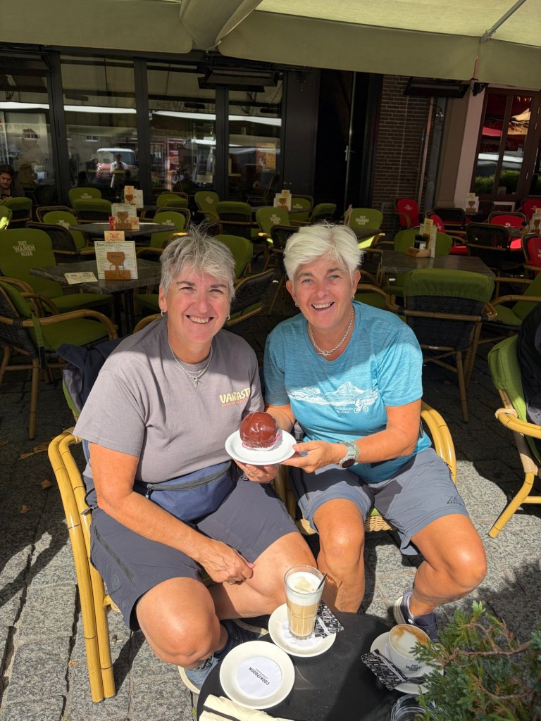
Den Bosch has a wonderful old quarter, Uilenburg, dating back to the 12th and 13th centuries and, unusually for The Netherlands, many of the canals went through tunnels rather than just having bridges over them. The twice weekly market was just finishing up when we finally arrived so we were able to enjoy a Dutch staple, kibberling. This is a freshly made fried fish in bite sized chunks that you have with either mayonnaise or rémoulade. Delicious and not expensive. As the heavens opened, we thought it appropriate to pop into the Sint Jan’s cathedral for shelter, which has one of the largest organ walls in Europe. After all this culture we had to stop and have a Bossche Bol that was a huge profiterole.

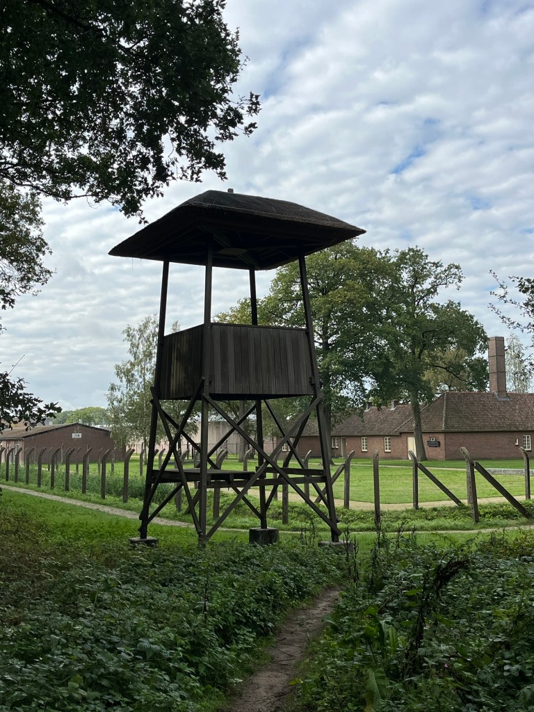
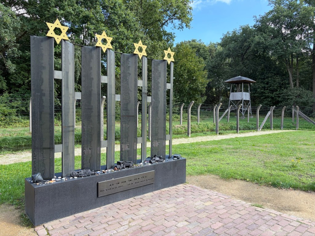
The woods in the nearby town of Vught was the setting for a concentration camp during WWII. Whilst it wasn’t an extermination camp, many people died or were executed there or were moved onto other camps in Poland or Germany. A well thought through exhibition highlighting that there never is just black and white in war.
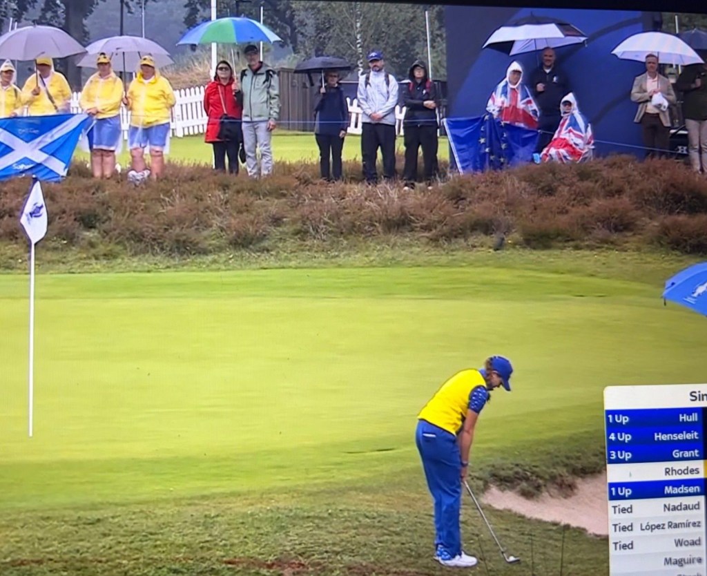
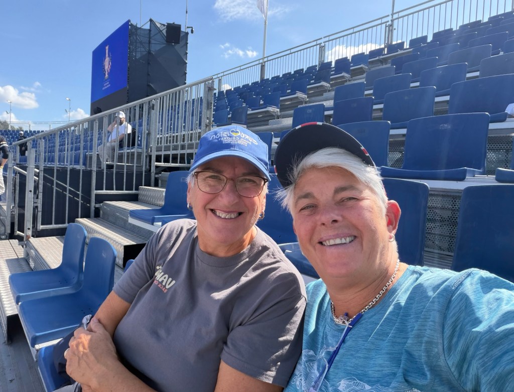
Back to the golf course to pick up our bikes and then back to the van. The theme of torrential downpours continued for the rest of our time there but the golf did not disappoint. World class golfers playing for each other was nail biting stuff. All square after days one and two with 12 singles matches on the Sunday to decide who will take home the trophy. Europe prevailed 15-13 and the place roared with each hole won let alone when we won a match. Great stuff.
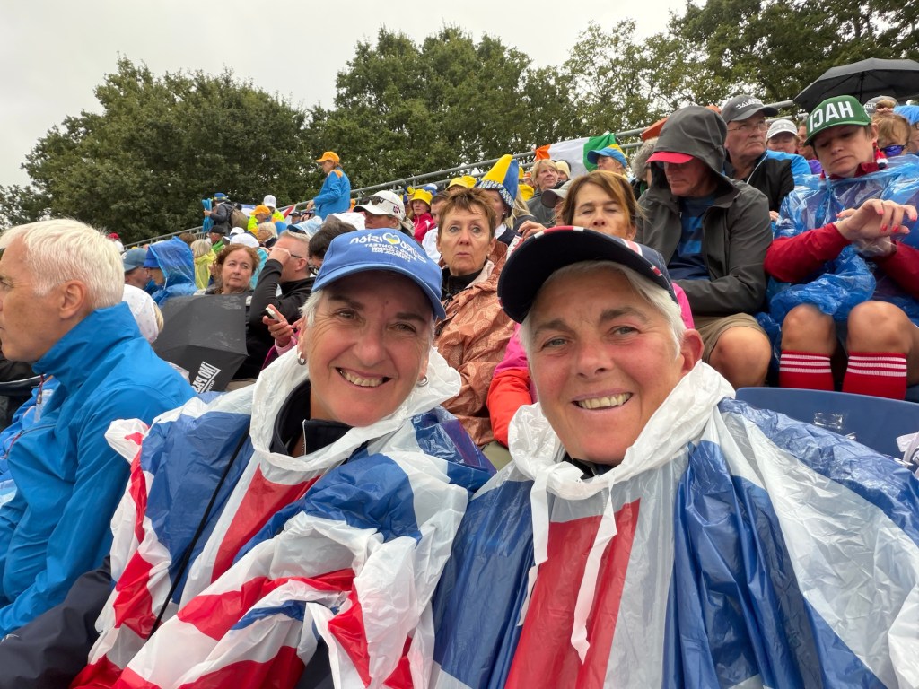
It was really torrential
The winning team!

Miles since last blog: 67

Miles this trip: 440
Arnhem

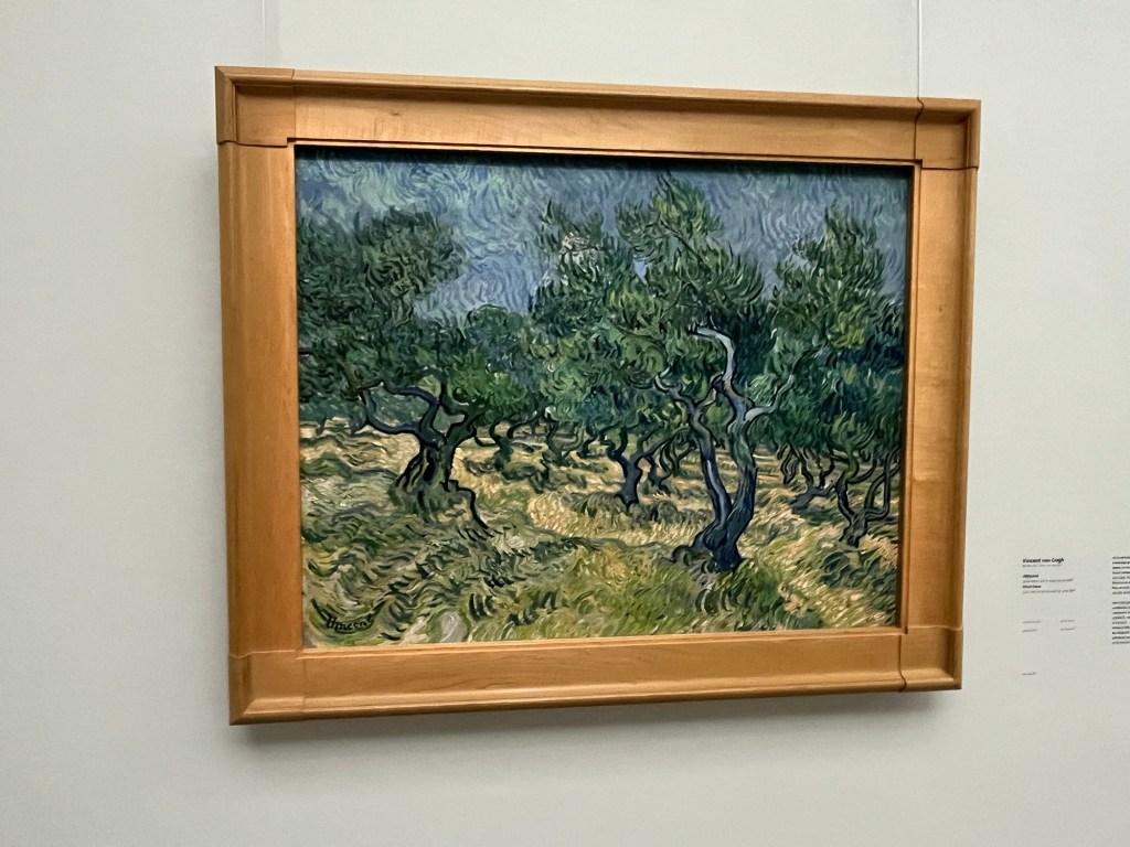
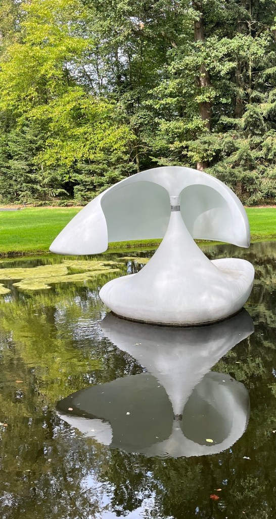
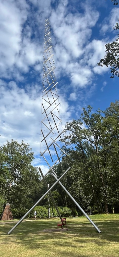
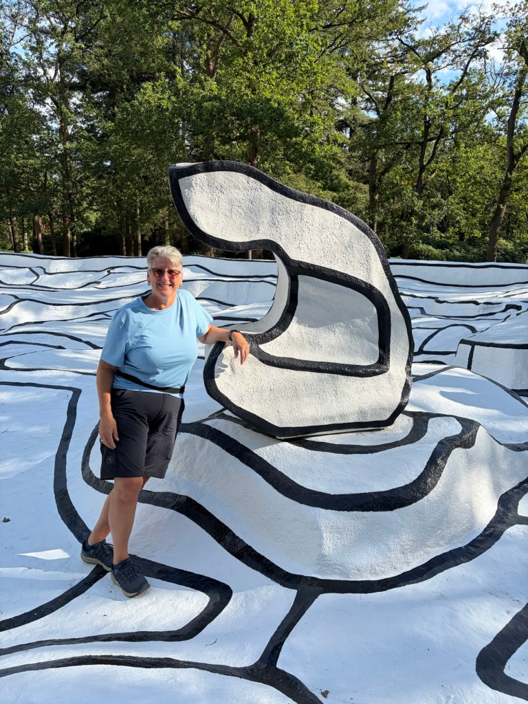
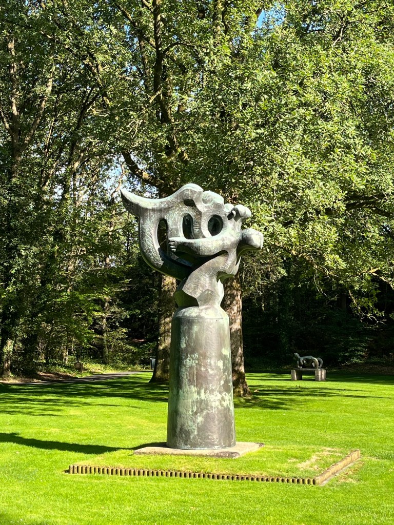
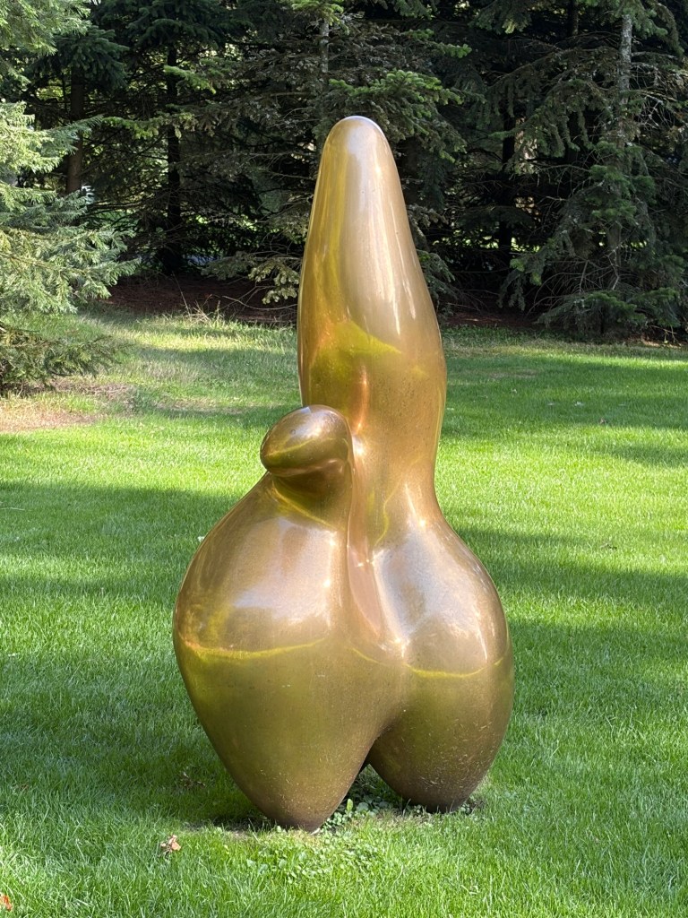
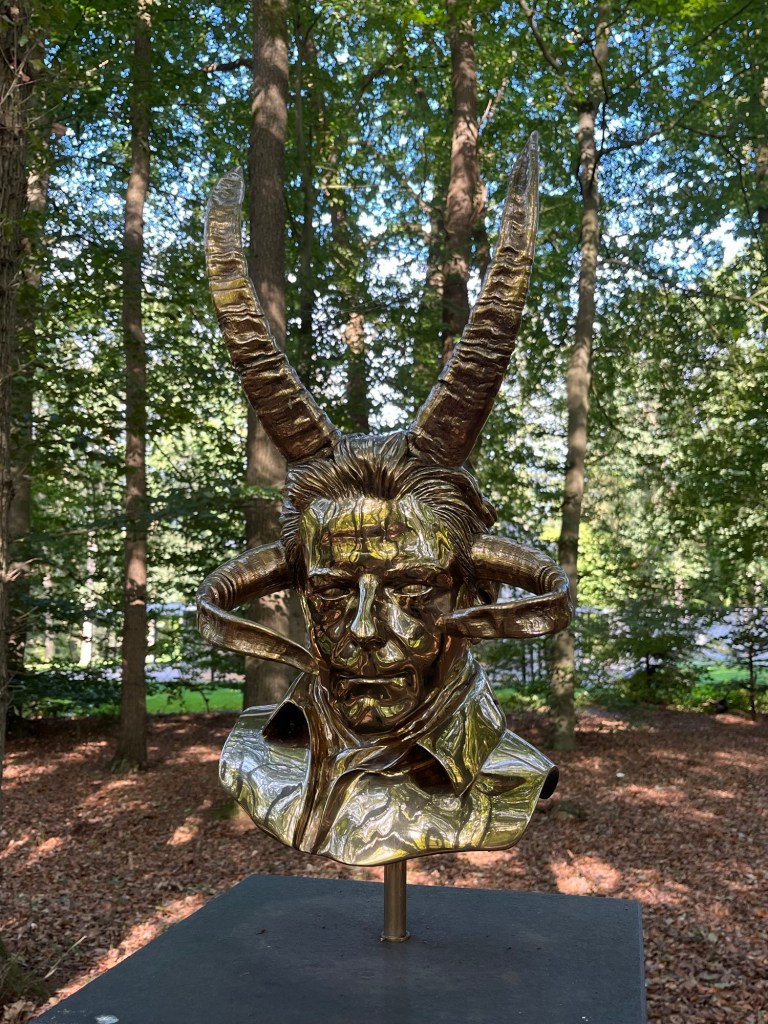
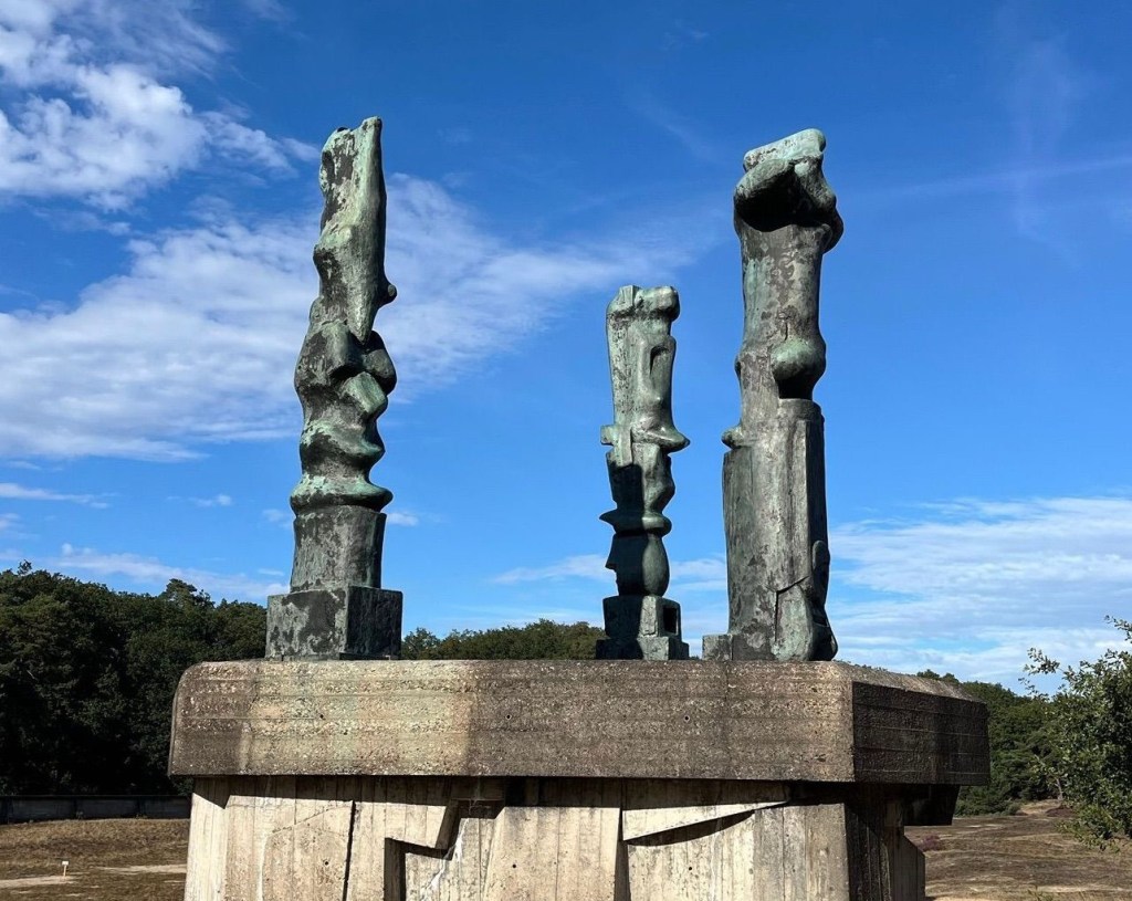
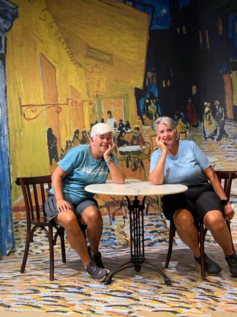
We left Giethoorn around midday on Sunday, September 6 after a delightful wander around the town, even getting a chance to do some food shopping. Shopping in The Netherlands is a bit tricky as not many supermarkets have large car parks and many Dutch seem to do theirs by bike! Anyway, we travelled for around 100 minutes to the small town of Otterlo in the Hoge Veluwe National Park. We found a site called Camping de Bosrand (P4N#452240) that was a tiny site with just 20 places but we managed to book one night with them. It was perfect for us as we could then cycle to the National Park to visit the Kroller-Muller Museum. It holds the largest collection of Van Gogh in the world with over 90 paintings and drawings. It also had a wonderful sculpture garden. We managed to do the whole thing before it closed at 17.00. Back to the van for pre dinner drinks and a meal.
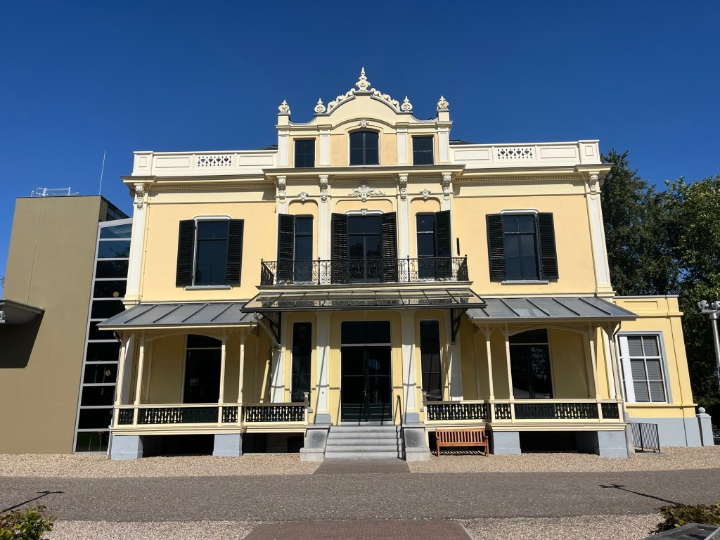
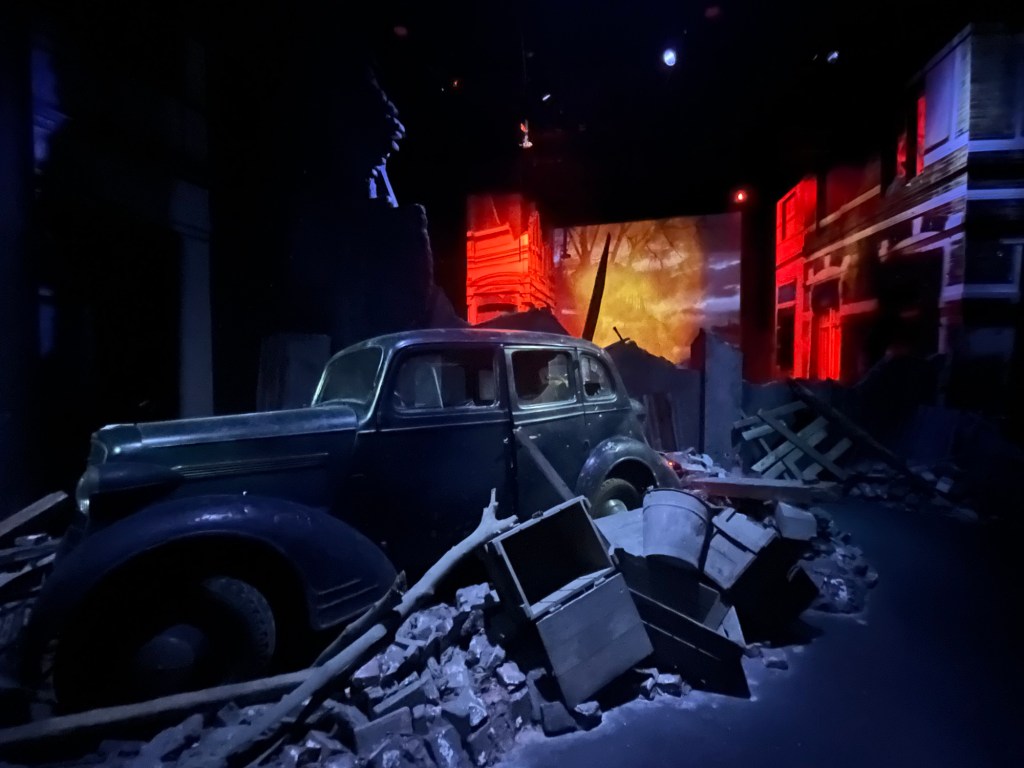
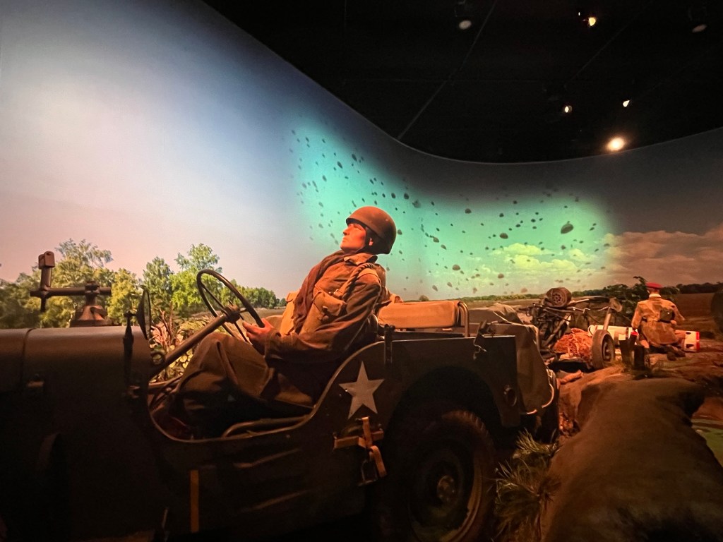
The next morning, we had to move on so we opted to drive the few miles to Oosterbeek where there was a museum on the Battle of Arnhem in WWII. Many of you will be familiar with the film, A Bridge Too Far, which was all about Operation Market Garden. This was an airborne drop involving 30,000 men behind enemy lines in September 1944 after D Day. General Montgomery thought it would shorten the war. Instead, it was a disaster with 17,000 killed or wounded and 6,500 taken prisoner. The museum at Oosterbeek was in Hartenstein House, the same house that became the Allied HQ during this operation and it was a fascinating insight into the battle. The immersive experience in the basement was particularly impressive. We also had visited the War Cemetery just outside the town before visiting the museum.

We then moved onto our campsite for the night just outside of Arnhem, Camping Warnsborn (P4N#142580). It was another small campsite and again close to the National Park but at the southern end so it was another site in the woods.

Camping Warnsborn

Once settled we cycled into Arnhem itself to see the John Frost Bridge (of A Bridge Too Far fame).

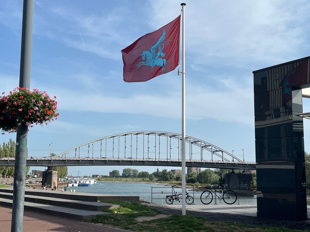
The John Frost Bridge

All over town, the flag of the 101st Airborne Division was being flown in commemoration of the battle. Considering Arnhem was pretty much razed to the ground by the Germans during and after the battle, the local people didn’t seem to hold a grudge against us.

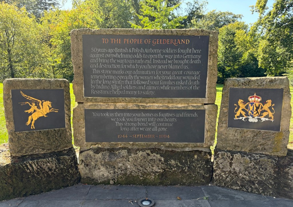
A poignant reminder

Back to the van again for beers in the sun before dinner on board.

Miles since last blog: 80

Miles this trip: 373

Oudewater and Geithoorn

As the motorways are toll free in The Netherlands, we made good use of them to drive towards our final destination of the day, Giethoorn. Before that, though, we stopped at Oudewater, about an hour north of the Biesbosch.

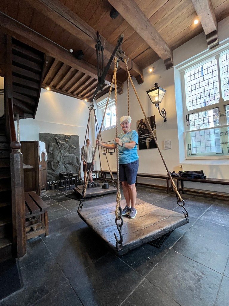
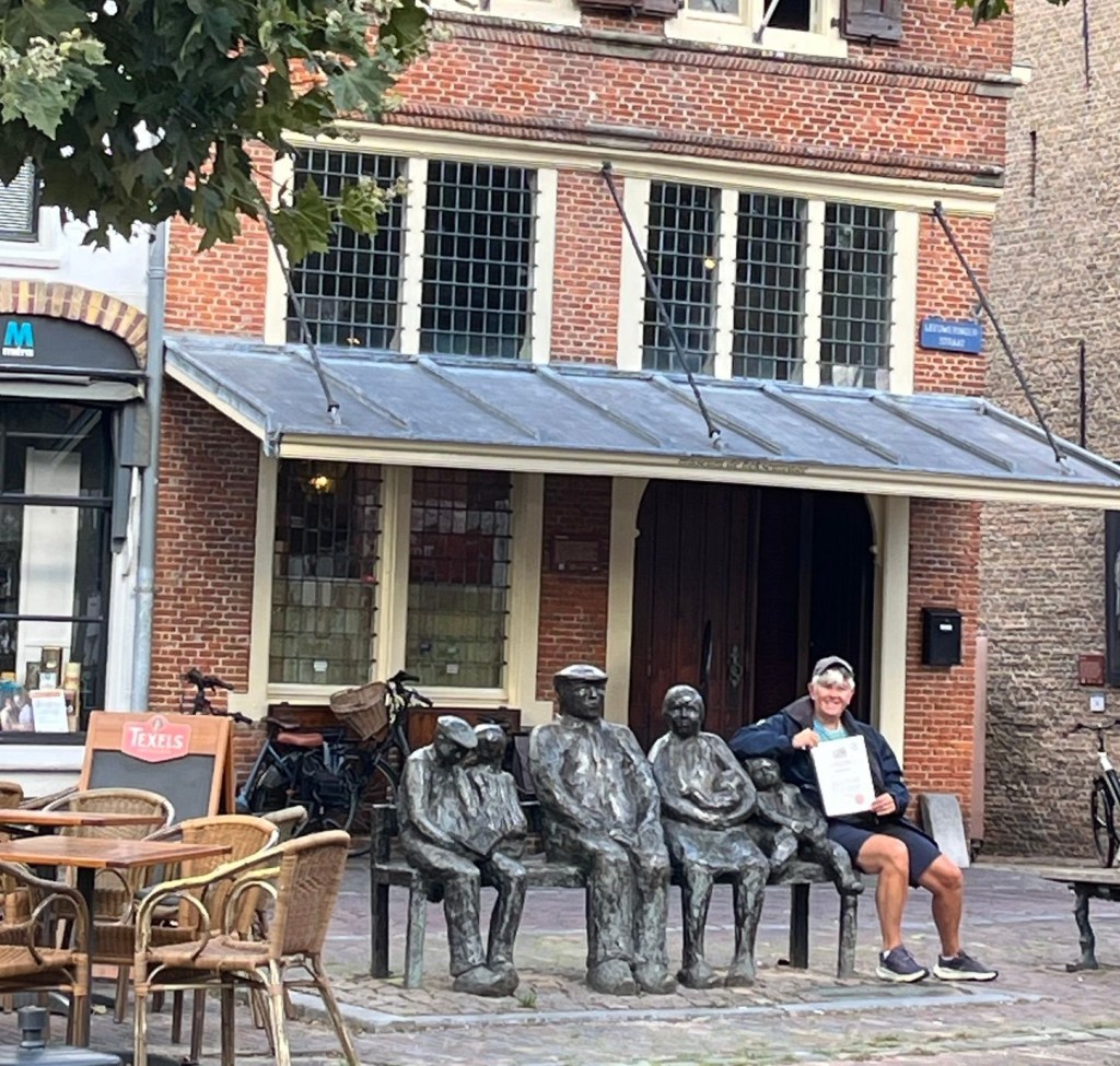
Oudewater became famous in the 16th century for weighing people who had been accused of being witches. It is thought that over one million women were killed as a result of the witch hunts across Europe during this time. It was a time when petty grievances and superstition ran rife. Many women were tortured, drowned or burnt alive due to the fact that it was extremely hard to prove their innocence. However, one test was about how much they weighed as witches were thought to be very light in order to fly around on broomsticks. So, women accused of witchcraft could be weighed. The town weighing house was generally used as this was where goods were normally weighed. Many of the weigh masters were bribed to ensure the women only weighed a few pounds. This happened when Emperor Charles V was passing by and he ordered the woman to be reweighed at Oudewater as he knew the weighing there was reliable. The woman survived and was given a certificate stating her weight which was then proof of her not being a witch. After that, the town drew thousands of women who for a small fee could be weighed. So, of course, Liz demanded to be weighed and got a certificate to prove that she wasn’t a witch.

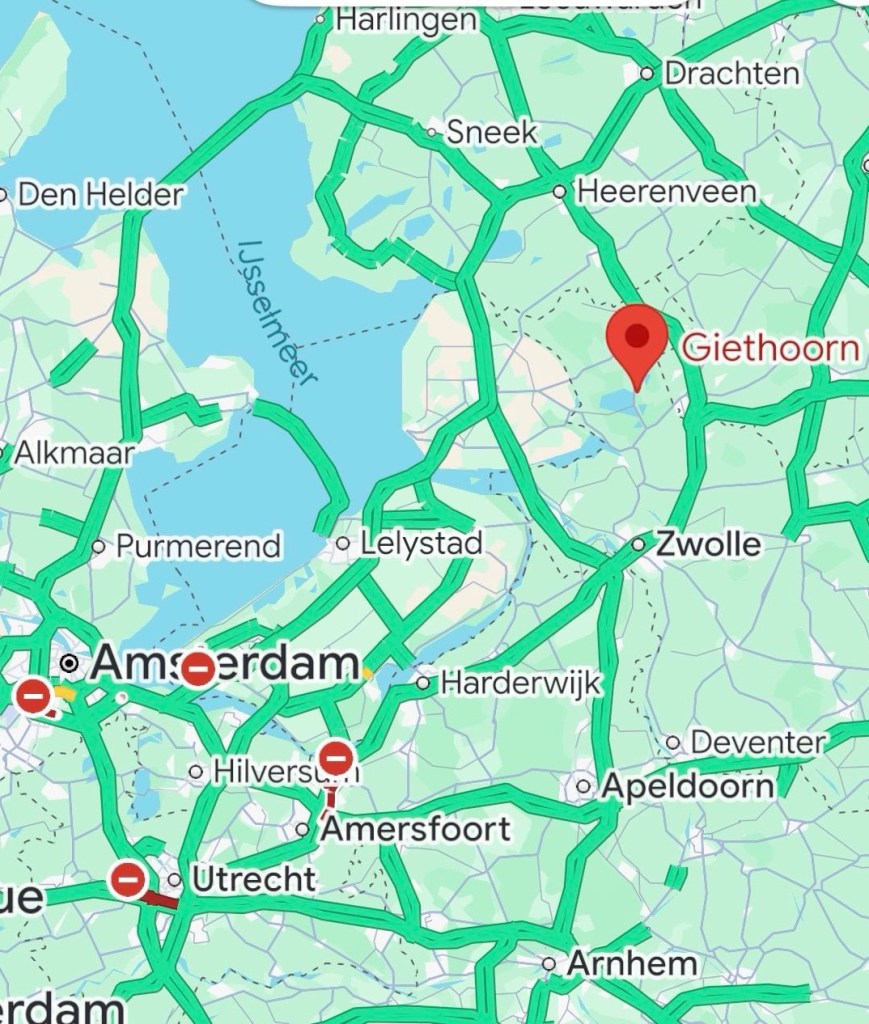
We then continued north for another 90 minutes to reach Giethoorn and found the lovely, quirky campsite Haamstede (P4N#32120) about a 20 minute walk from the centre.

Camping Haamstede

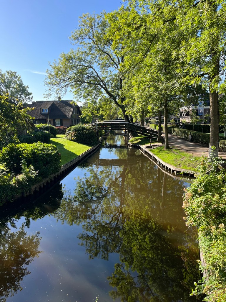
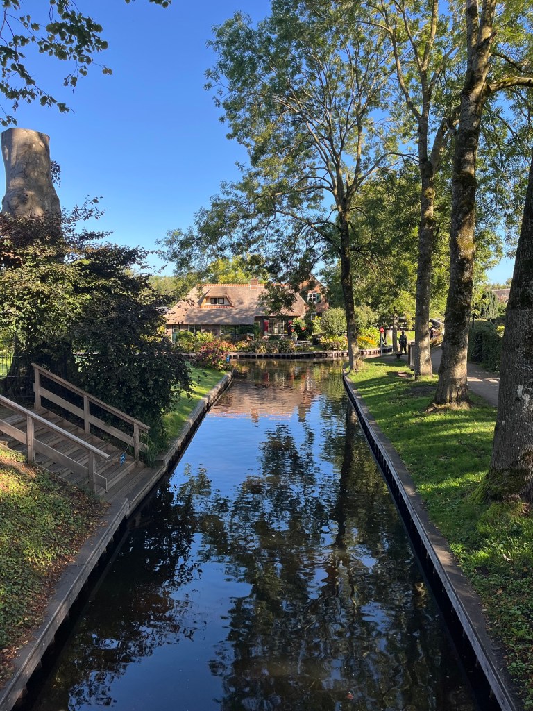
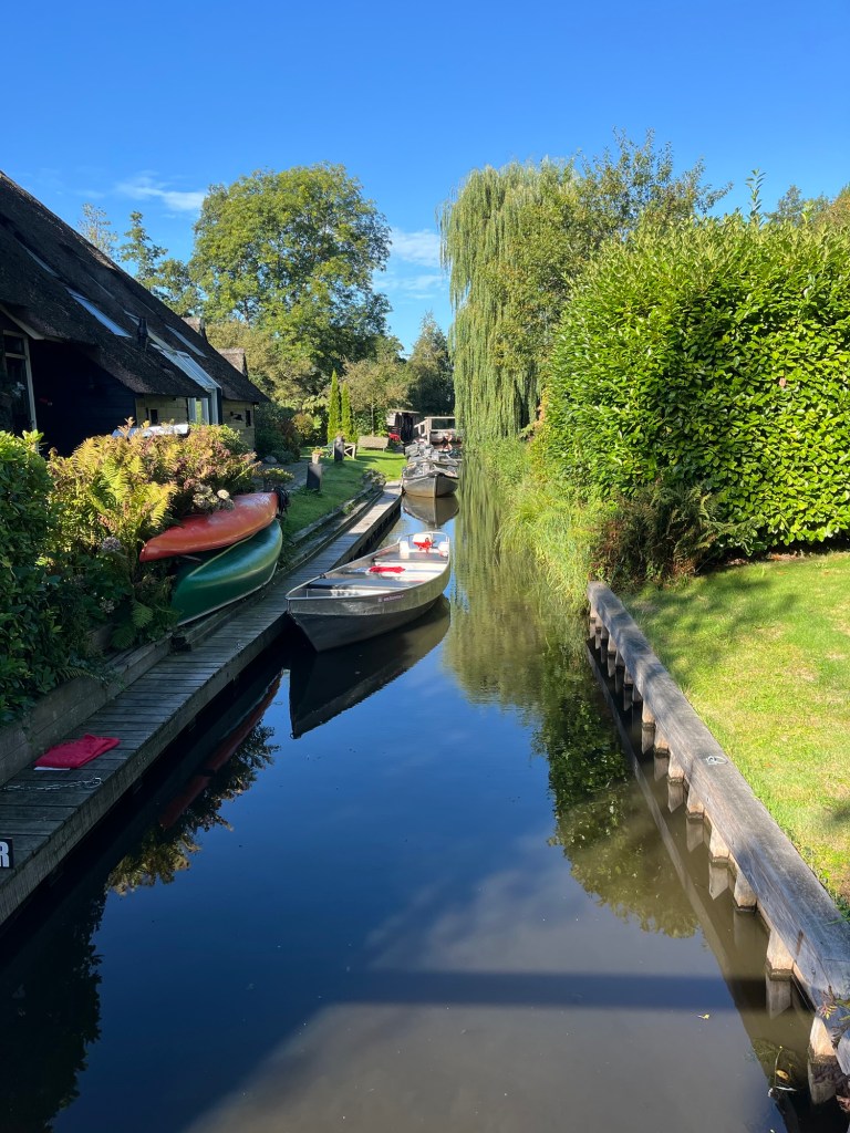
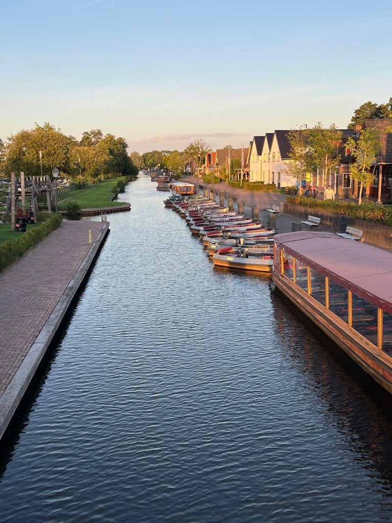
We arrived around 19.00 so we had a quick G&T before heading out to find our restaurant, L’Achterhuus, in the centre of the village of Giethoorn. Giethoorn means goat horn as they found hundreds of horns when they drained the area in the 13th century. They believed that the remains were from the St Elizabeth Day flood of 1170. It now is a delightfully pretty village with no cars that felt to us like a cross between Cambridge, Marlow, Cotswolds and Norfolk Broads with criss crossing canals flanked by quaint thatched cottages on the banks and hump backed bridges. Due to the large number of tourists, there are also hundreds of small electric boats to hire to meander around the village for an hour or two. Dinner was gorgeous with Liz having guinea fowl and Jo had boneless ribs, washed down with a glass of wine. A walk around a deserted village afterwards made for a very pleasant evening.

The next morning, Sunday September 6, we took advantage of the coaches not having arrived yet to walk around the village in daylight. It really was very pretty, helped by the lovely weather no doubt.

Miles this blog: 123

Miles this trip: 293

Windmills and wetlands

We left our campsite near Delft around 10.00 on Friday, September 4. Not sure how it took us two hours to get ready with showers, filling up with water, emptying the grey and black waste. The campsite had a wonderful machine to empty and clean the toilet cassette where you popped the cassette in and it did it all behind a closed shutter then popped out all clean with bio toilet solution already in it. Wonderful!

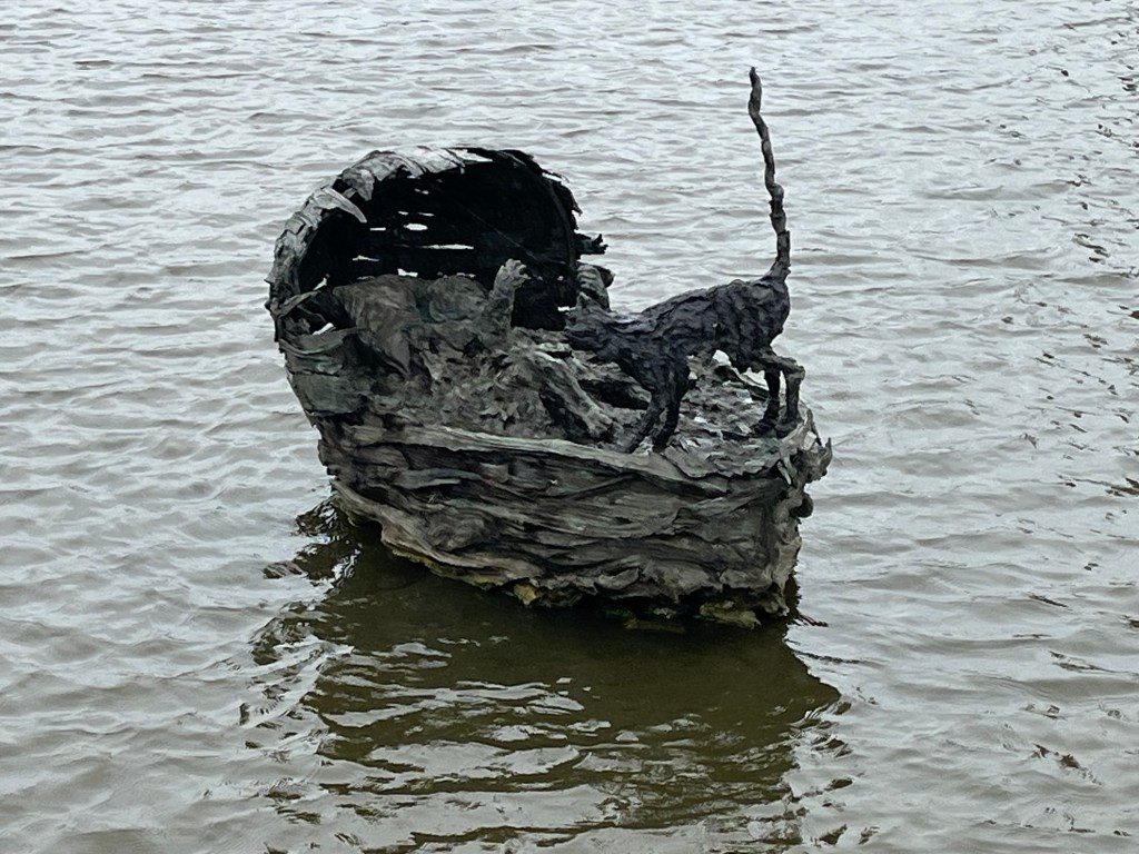
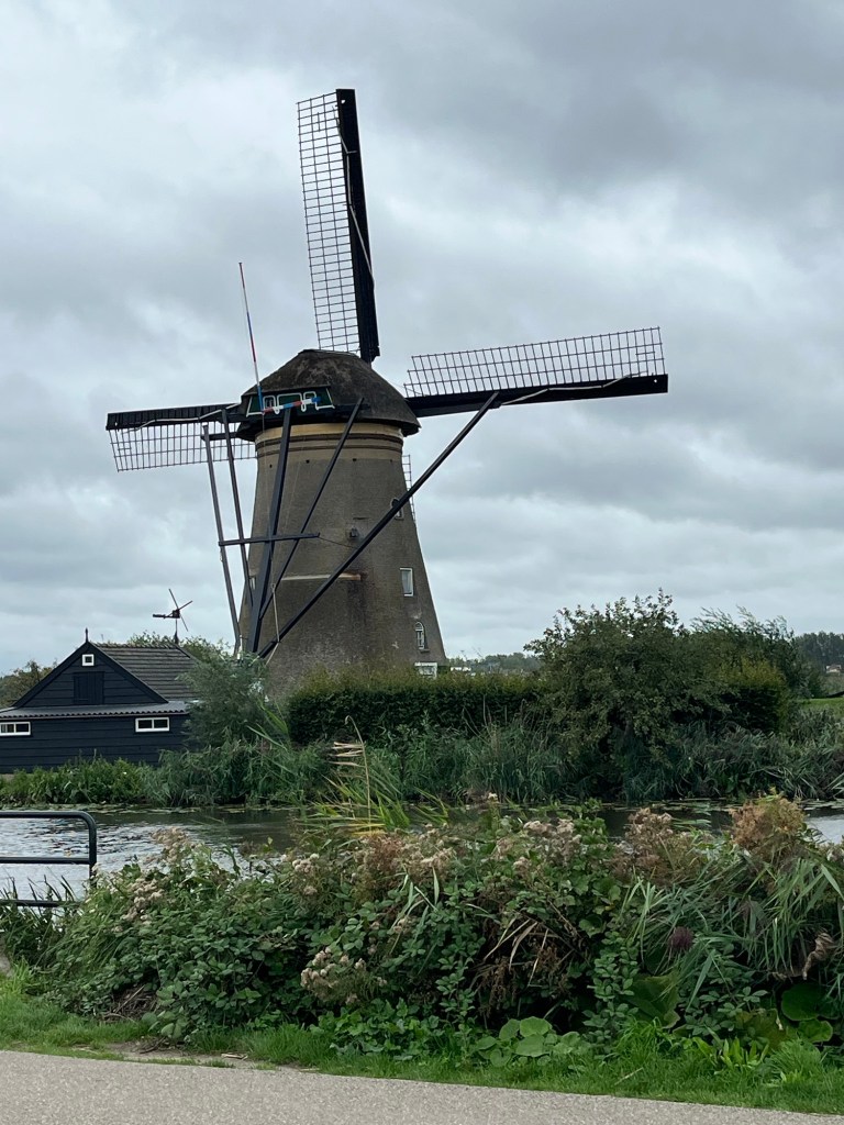
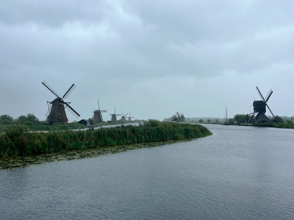
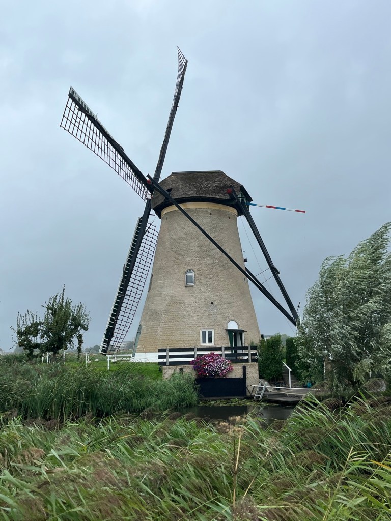
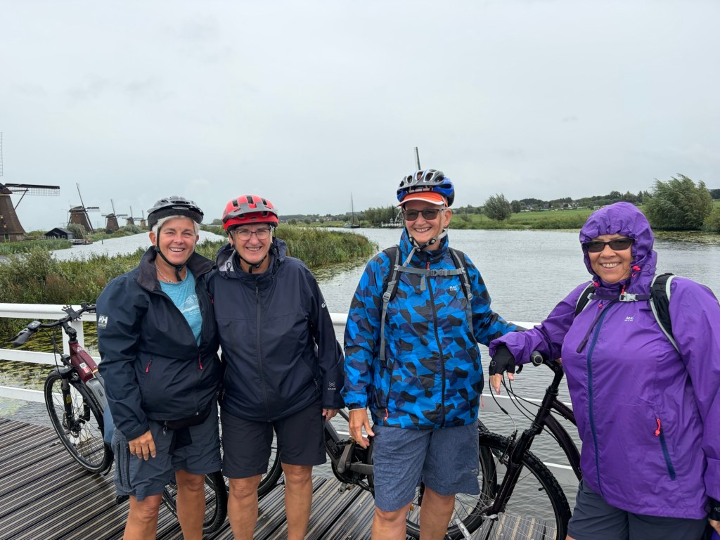
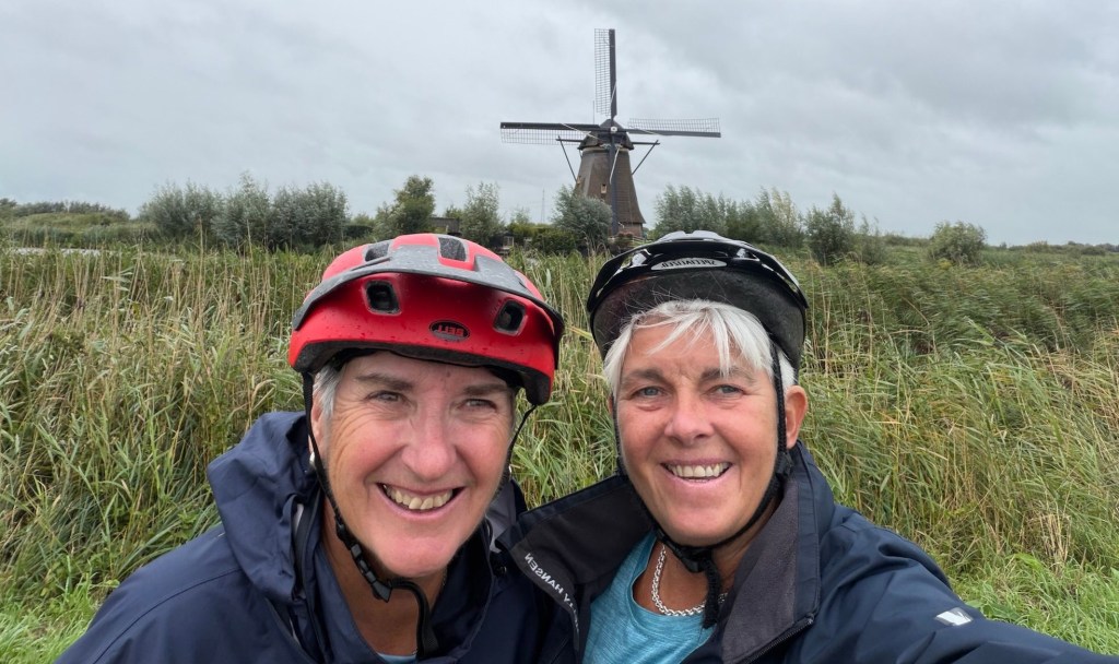
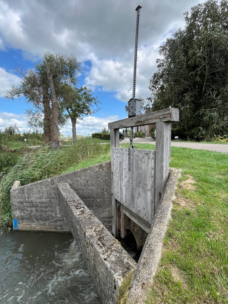
We drove about half an hour to the windmills of Kinderdijk. The car park was about a 30 minute walk from the windmills so we got the bikes out and cycled there in storm force winds. Still, it was easier than walking. The windmills are a series of 19 windmills which were used to keep the area from flooding. Before the great St Elizabeth Day’s Flood of 1170 there were only dykes to keep the river and rainwater at bay. When the flood broke those defences and hundreds lost their lives, they realised they needed a method of drawing the water out, as the land was well below sea level. The first windmill was built in the 17th century and the others around 1740. The name Kinderdijk comes from the legend of a baby girl in a wicker basket being saved from the floods with a cat balancing the basket through the torrential waters.

It rained most of the morning so we did all look like drowned rats at times but the windmills were fascinating. All bar three of them are still lived in by millers. To supplement their income, they harvested the reeds as well as the peat.

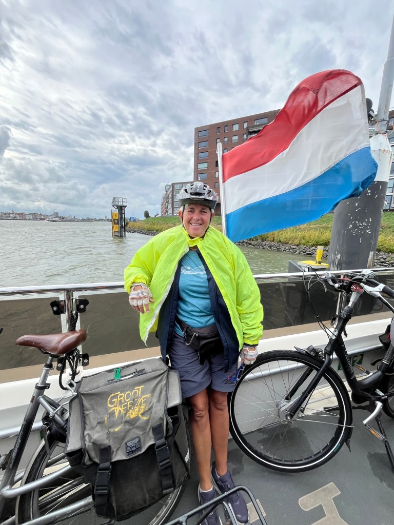
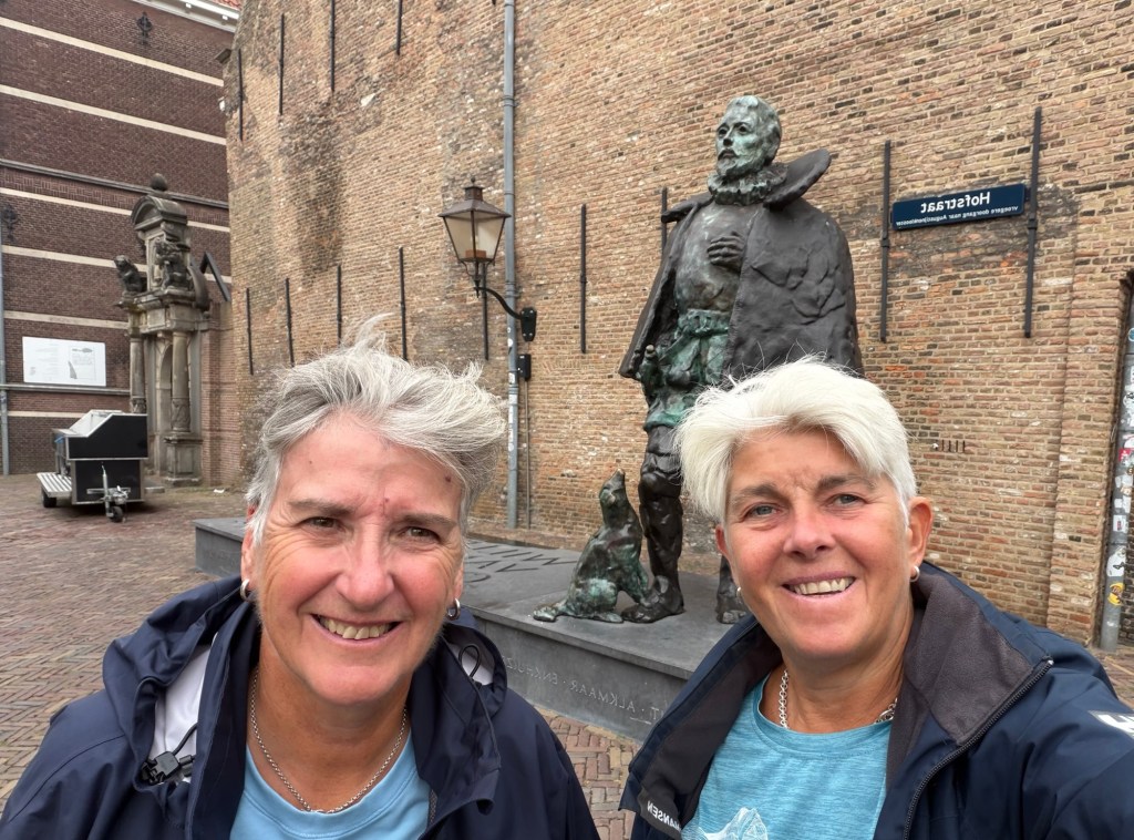
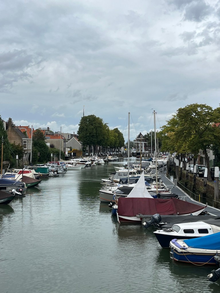
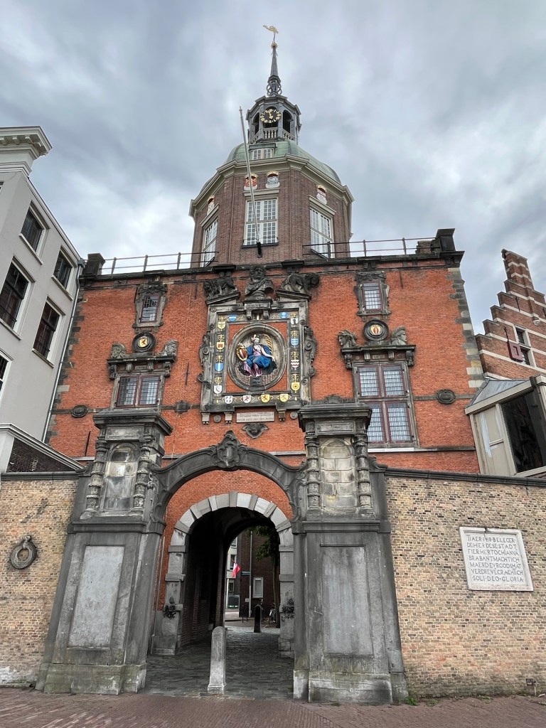
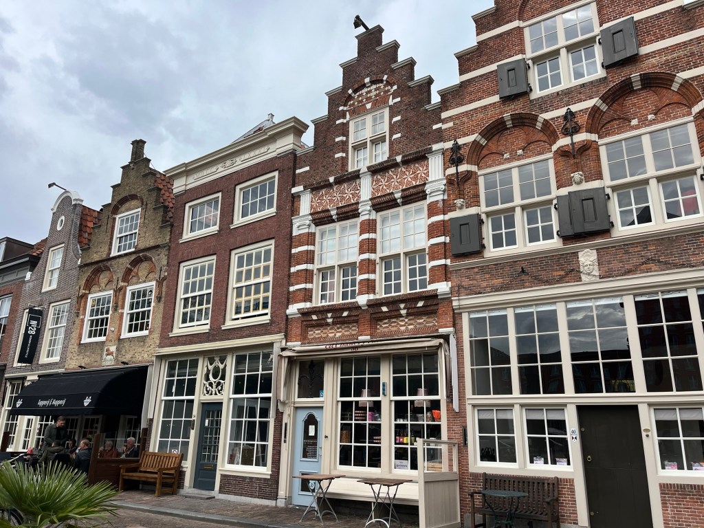
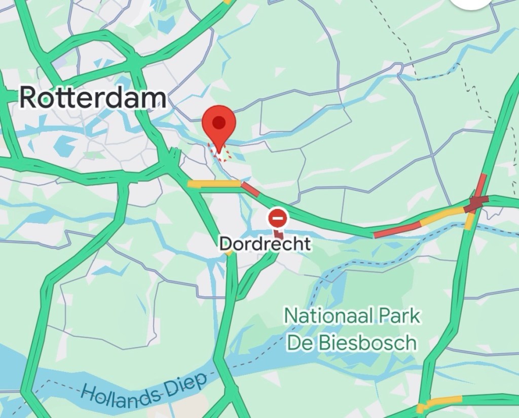
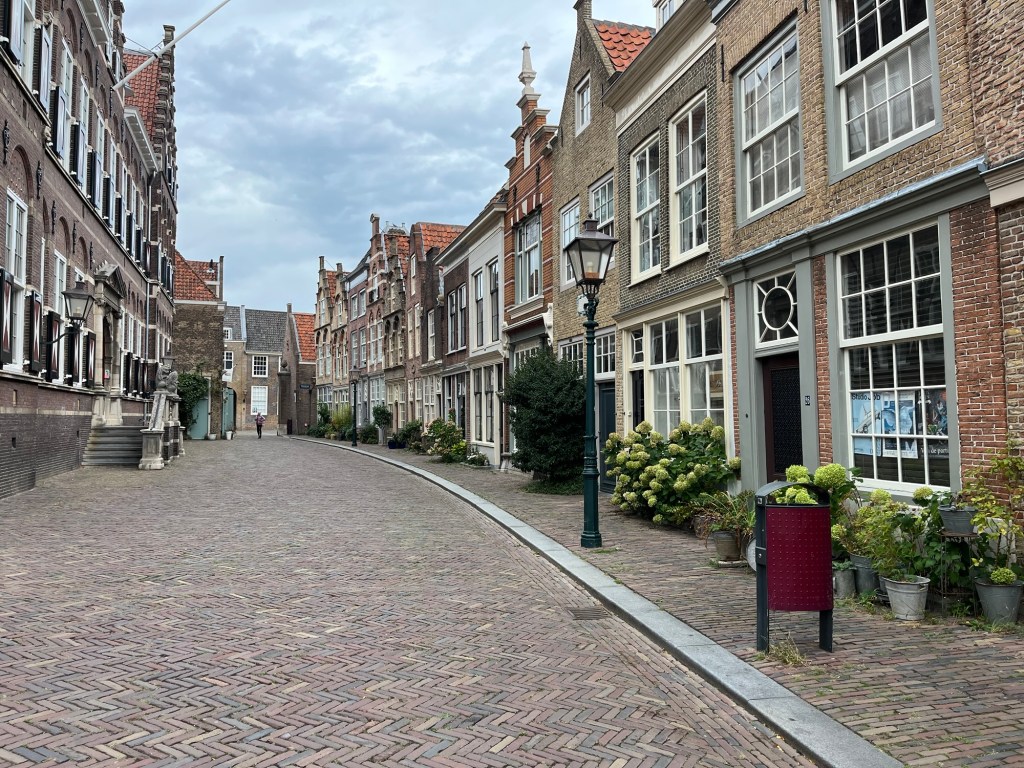
We left the windmills to make our way a few miles towards Dordrecht, the oldest town in the Netherlands. We had found a camperplaats, called Kinderdijk (P4N#385169) where, whilst basic, was perfect for exploring the area. Once sorted, we jumped on our bikes and cycled into Dordrecht about 6 miles away. Part of the journey was by ferry for the princely sum of €4 return and bikes go free! We had a lovely wander around the old part of the town before a quick beer and heading home to supper on board. The statue of William of Orange shows his devoted dog who, according to legend, wasted away after his master’s assassination and was buried with him.

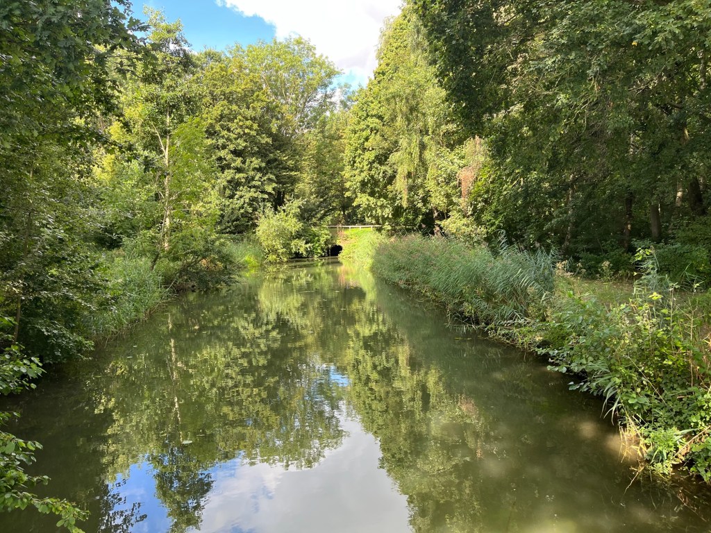
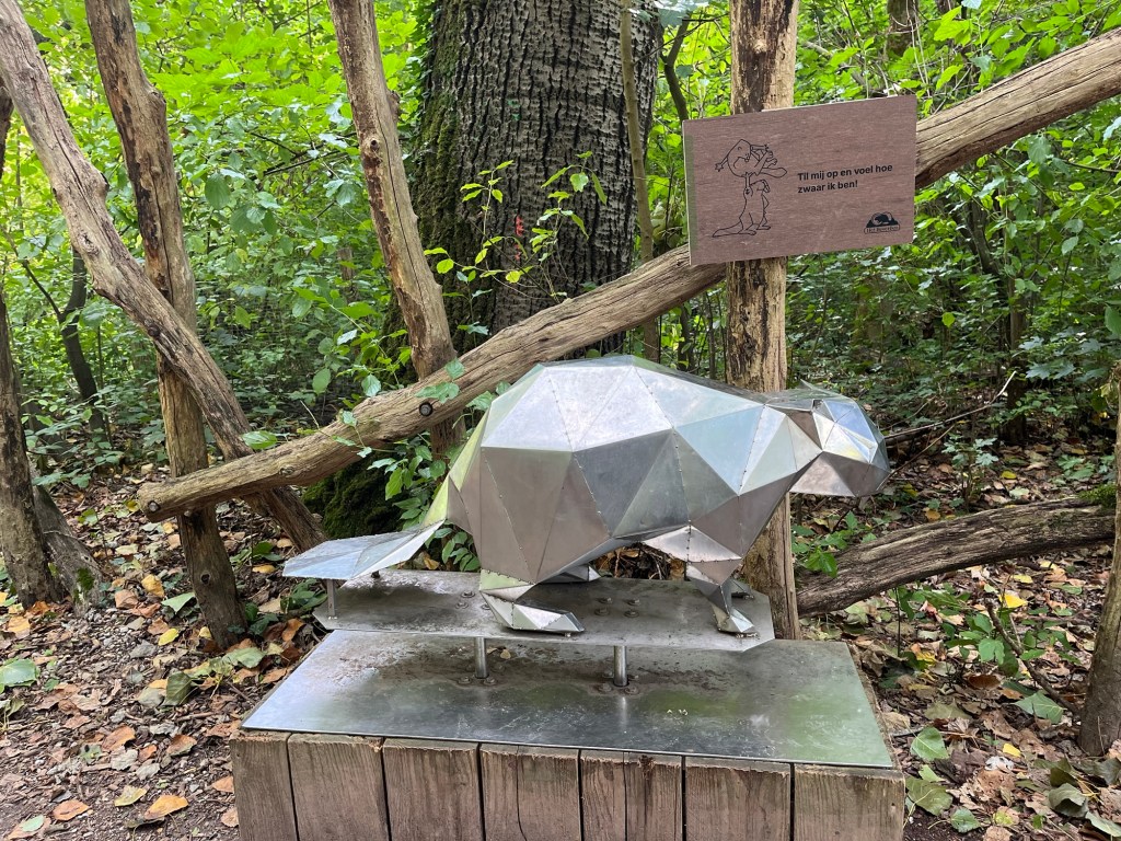
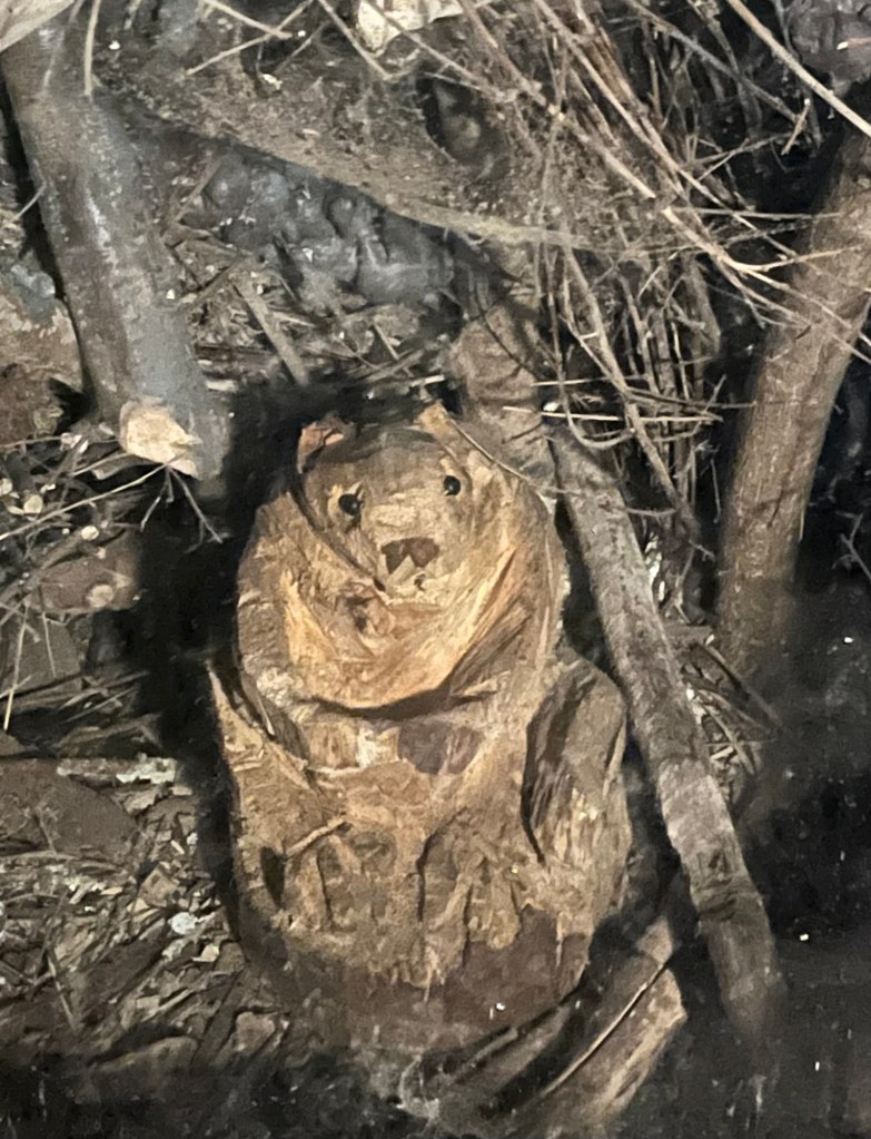
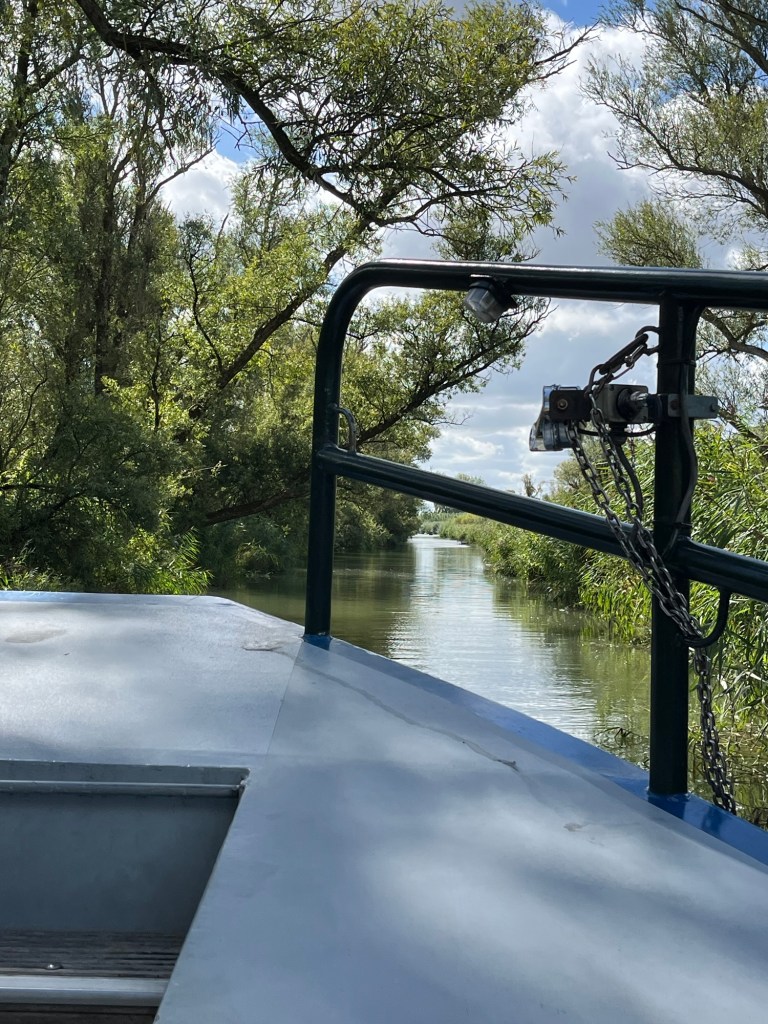
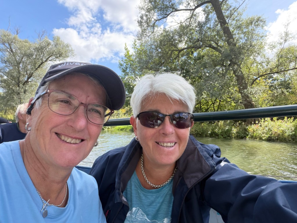
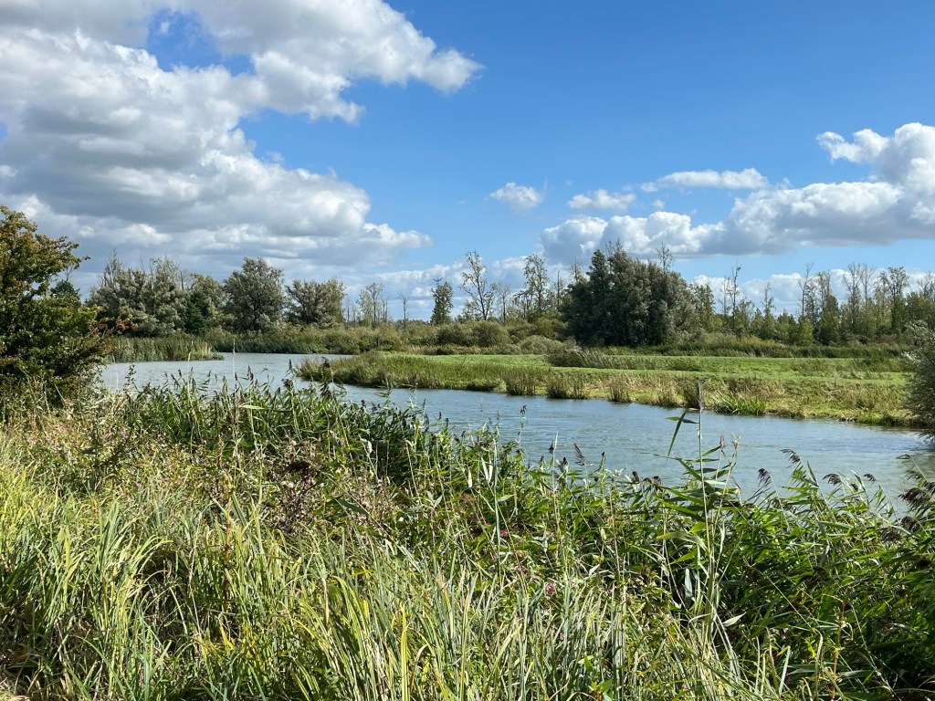
We had booked a river cruise for the Saturday lunchtime at the Biesbosch nature reserve. This is a series of creeks and rivers that make up the wetlands of Biesbosch. The name means forest of reeds as reeds and willow were harvested by hand from there in what must of been back breaking work. The river tour was all in Dutch but luckily Google live translation came to the rescue. Beavers became extinct in the area by the 1900s as they were trapped for their meat and fur. In the 1980s, German beavers from the Ruhr valley were reintroduced and there are now some 500. We didn’t see any on our tour but we did see two sea eagles soaring above us. It was lovely just walking along the paths enjoying the quiet and being with nature.

We departed Biesbosch around 14.45 to drive north to continue our adventures but that’s for the next blog!

Campsite at Kinderdijk marked

Miles this trip: 170

Miles this blog: 54

Delft

We finally managed to leave home around 16.30 on Tuesday, September 1st. We weren’t sure we would even make it away with various family medical emergencies in the previous couple of weeks. However, we did. We drove across to Harwich and parked up at the ferry terminal for the 09.00 crossing the next day. Stena Line kindly allow you to stay overnight by the check in so that you are virtually in the queue when it opens at 07.00. We are travelling with our friends, Maria and Jane, in their Adria Twin so it was an easy way to meet up.

The crossing itself was uneventful but long as it takes 7 hours. The entry into The Netherlands was easy enough as we had already submitted our biometric data back in June when we visited Spain. They just checked our passports and we were on our way. Our first stop was a lovely campsite just outside Delft which we had booked the day before. Camping de Drie Morgen (P4N#196346) was just a few kilometres outside of the town so a perfect spot to explore from.

Camping de Drie Morgen

It seems that in The Netherlands you can’t really wild camp. You can only stopover where they explicitly say it is allowed. Consequently, I think that we will be on recognised sites and aires for our two weeks here. It’s not that much of a hardship although you don’t tend to get the same views you can find wild camping. However, what they have invested in is zillions of bike paths. Everywhere. So far, we have only had to be on a road, a minor one at that, for about 5 minutes. Wonderful and the traffic stops for cyclists at roadabouts and most junctions.

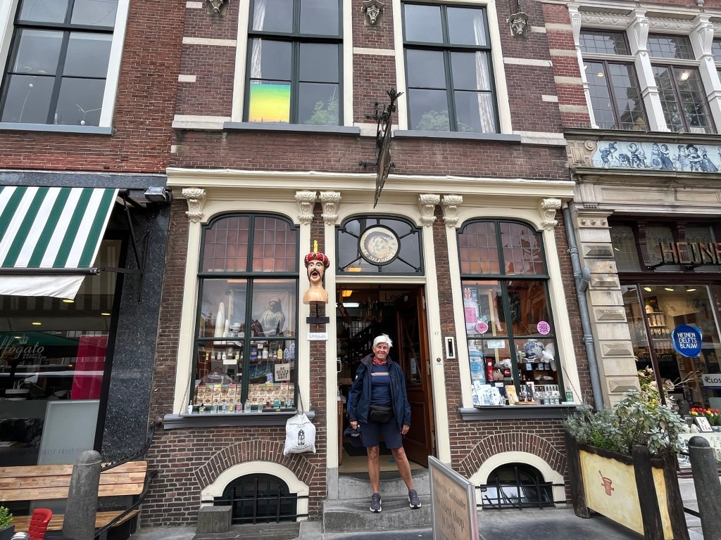
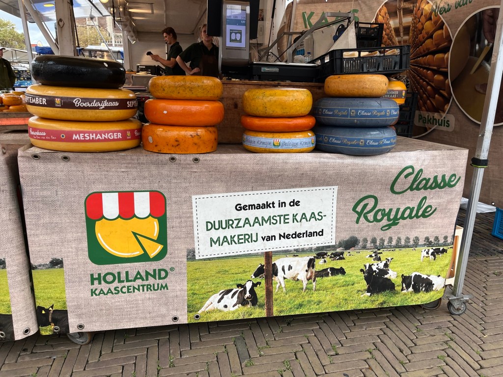
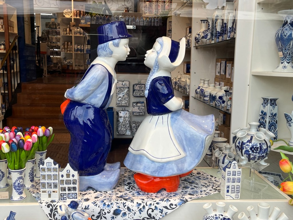
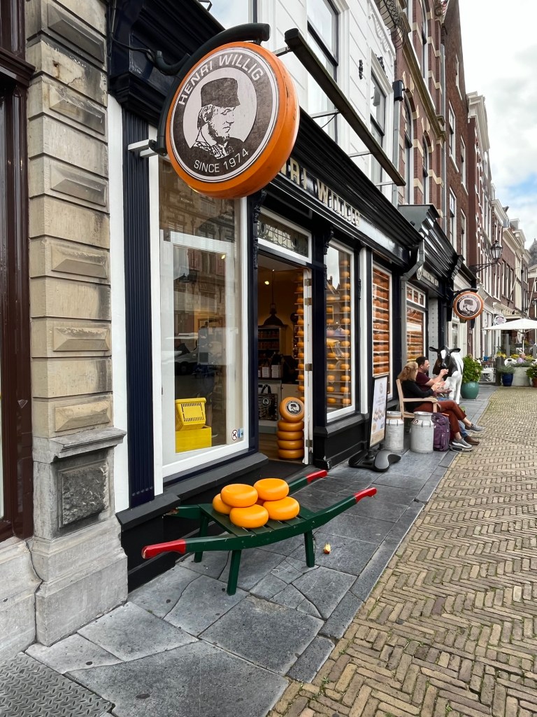
Anyway, back to Delft. It would have been a 30 minute cycle into Delft and the weather had been atrocious overnight and during the morning. We had booked a walking tour for 13.00 so we all chickened out and caught an Uber taxi into town late morning. There was a lovely market in the main square so we stocked up on fresh vegetables, a cooked chicken and, of course, cheese! We even found the oldest shop in Delft (1782) which is a chemist and it sold salted liquorice by the kilo!

De Salamander chemist

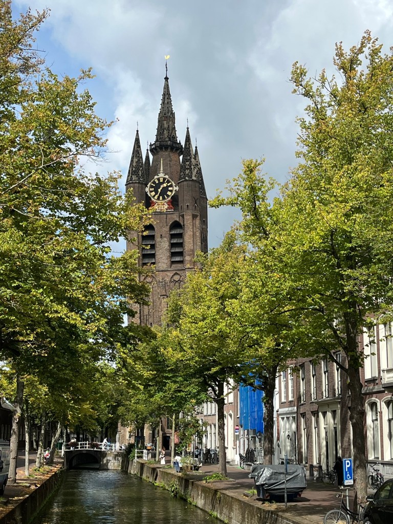
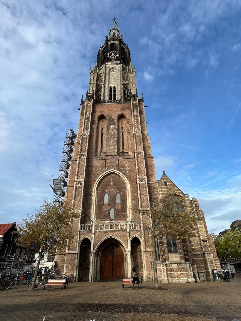
The walking tour by a lovely woman called Astrid was highly informative covering both the famous ceramics as well as the murder of William of Orange (father of the nation) in 1584 during the 80 years war with Spain to gain their independence. The town has two churches, the new one built in 1381, with imposing spires although the Oude Kerk is definitely at a jaunty angle. Delft is also famous as the birthplace of Johannes Vermeer but sadly the painting of the Girl with the Pearl Earring is on loan at the moment.

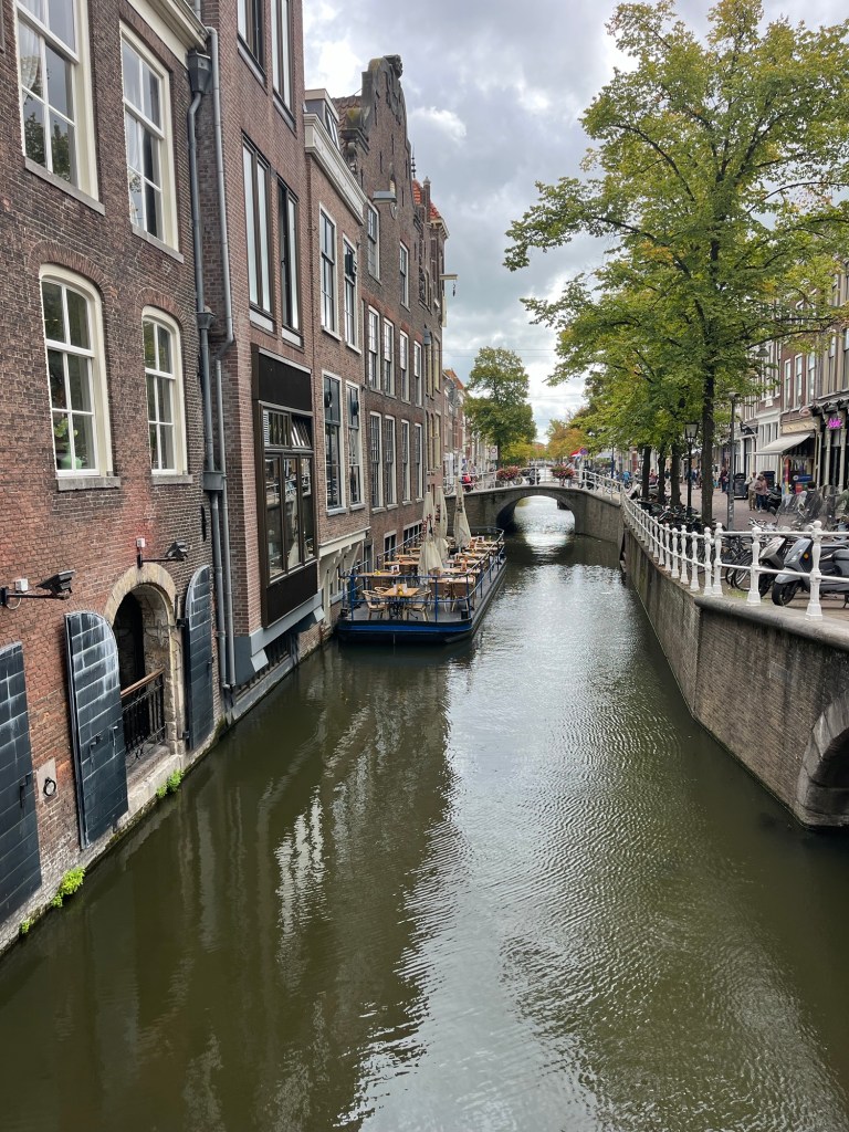
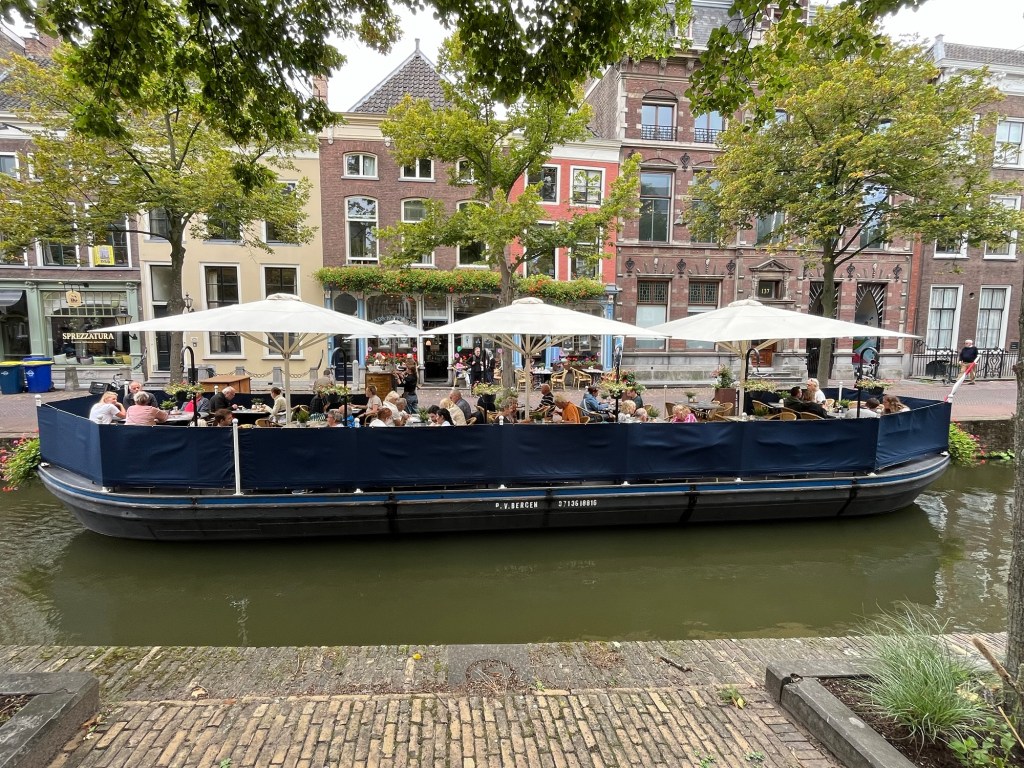
After the tour we needed a beer or two at the local microbrewery, naturally, before having an early dinner at a canal-side restaurant. Apparently, there were over 200 breweries in the 16th and 17th centuries when the water was unfit to drink. Back to the vans and a relatively early night as we wanted an early start in the morning.

Miles this trip: 116

Thomastown to Home

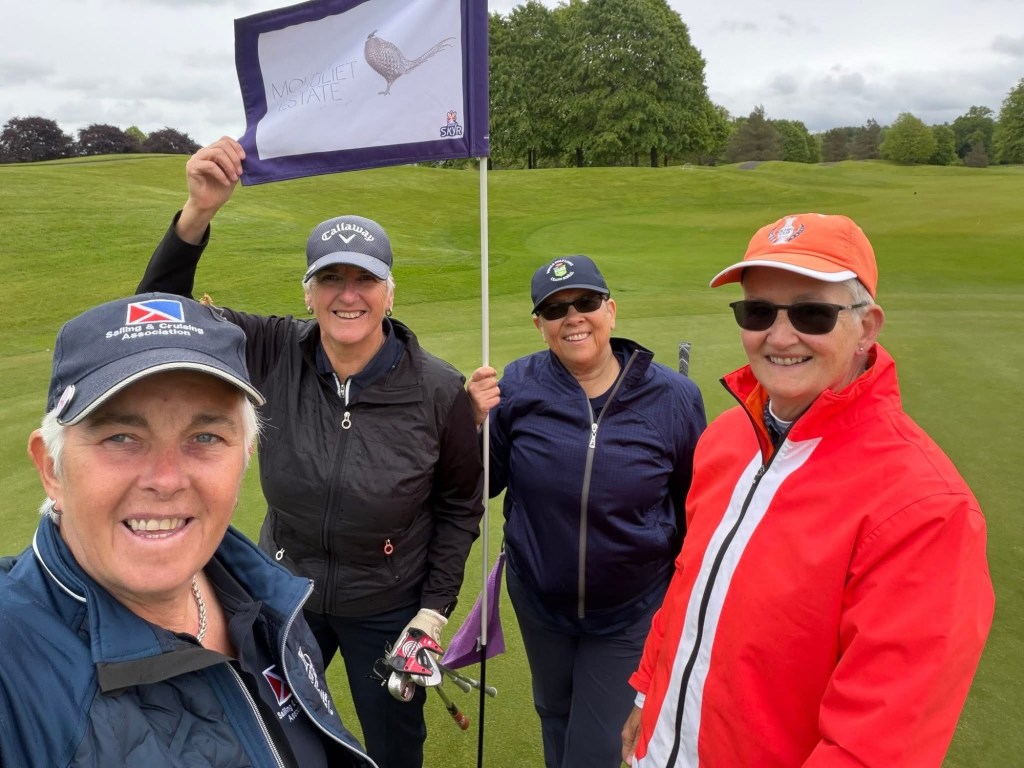
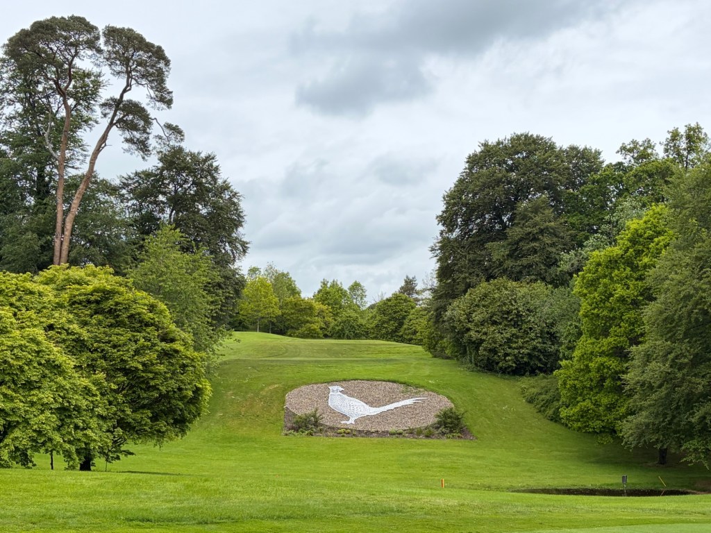
We had swapped our tee time at Mount Juliet Golf Course from the afternoon to early morning on Monday, May 18 as the weather forecast was due to get worse as the day progressed. The golf course was very grand, having been designed by Jack Nicholas. Half way round, we received an email to say that Stena Ferries had cancelled all ferries from Rosslare until May 23! Once we had finished our golf, we quickly booked ourselves on the Dublin to Holyhead route on the same day we had originally booked. Phew!

Continue reading

Galway City

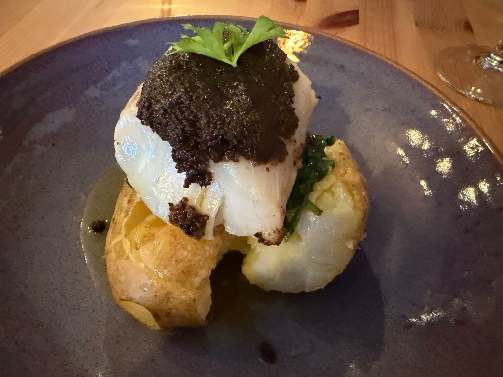
What a vibrant place! It’s like Dingle on steroids. Having parked in the railway station car park we wandered into town to find a restaurant. Galway is known for its music scene, food and bars. Being a Friday night, of course, all the notable restaurants were fully booked. We had found a Portuguese restaurant on Google that got good reviews so we booked a table. We arrived there to find that there were doing a special three course set menu with paired wines. It all sounded delicious.

Continue reading

The Burren

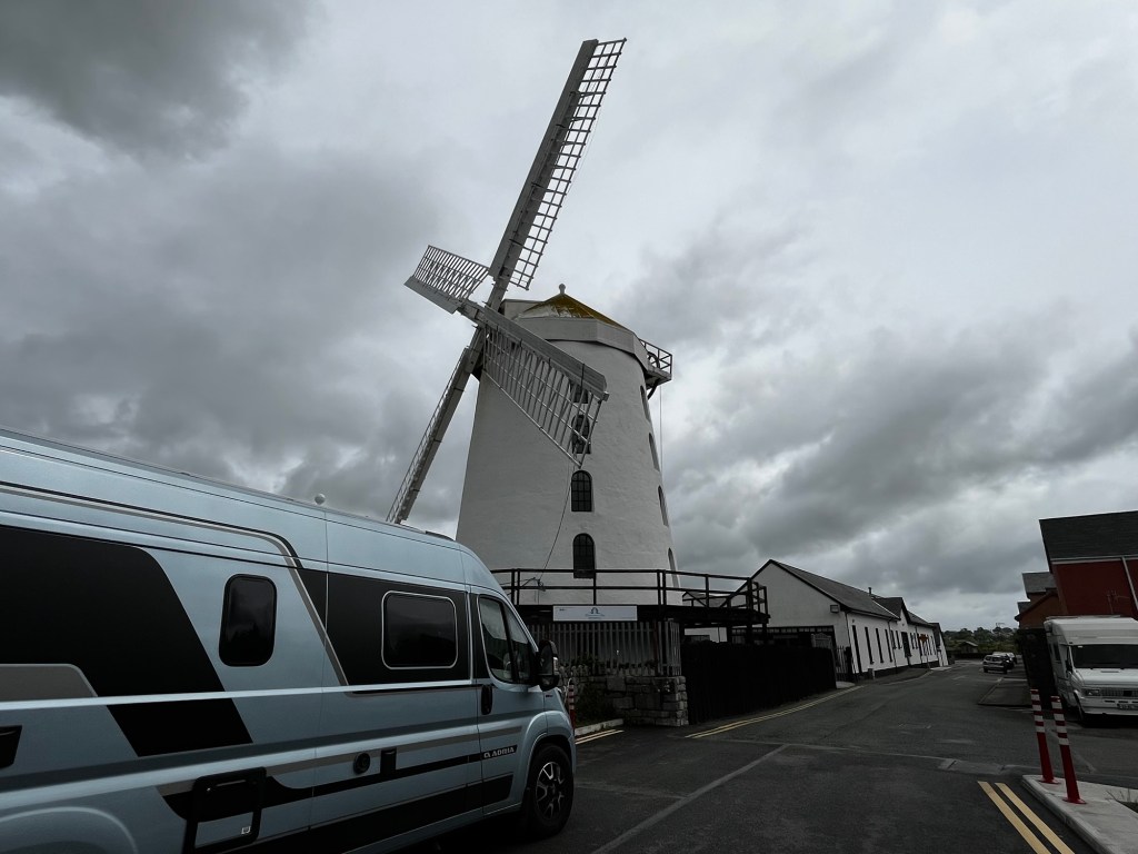
We left Dingle on Thursday, May 14 to head north to County Clare and Galway. On the way we stopped at the Blennerville to look at the windmill there.

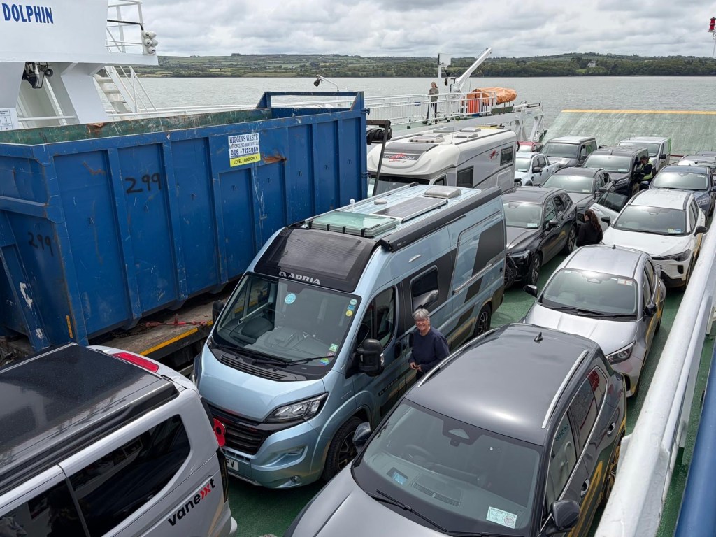
We had booked the ferry from Tarbert to take us over the River Shannon but it was first come first served so it didn’t matter when we turned up. This time we did manage to get onto it without any mishaps, thank goodness, as it was a long way round by road!

All safely onboard!
Continue reading

Dingle Peninsula

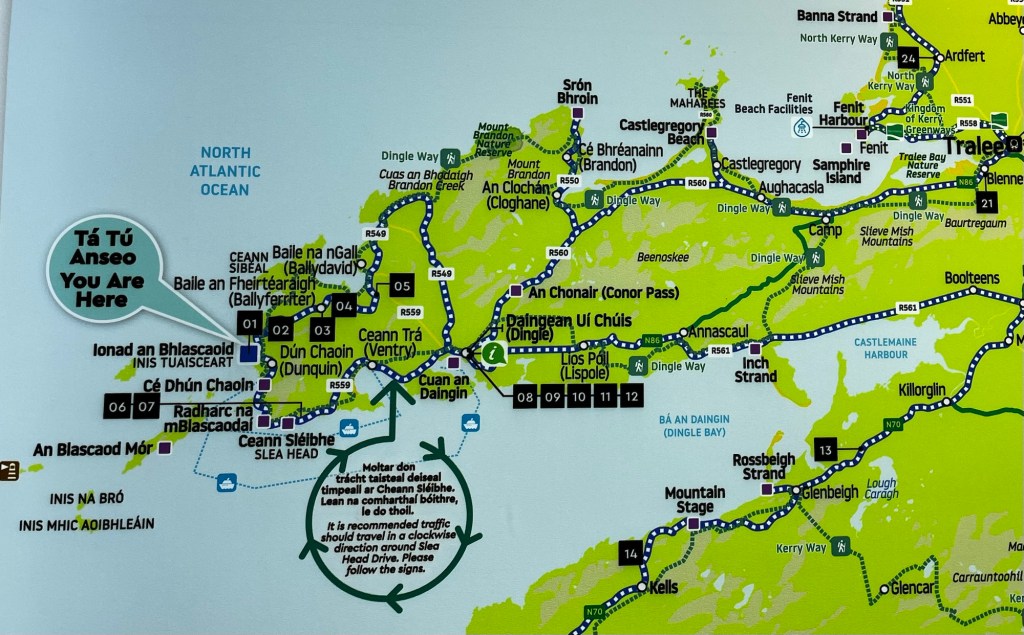
Wednesday, May 13 started off horrible with more lashing rain and extremely windy. However, we were not deterred as we wanted to drive the Slea Head Drive. This is done clockwise as that’s the way the buses go and the roads are extremely narrow. Of course, you had some numpties who decide to go the other way and create chaos and bedlam. It’s a 24 mile loop from Dingle so we needed to drive around 20 minutes to get to the start. We also used the drive through Dingle town to decide on where to stay the night when we had finished as we fancied a meal out and some proper Irish music in a pub.

Dingle Peninsula

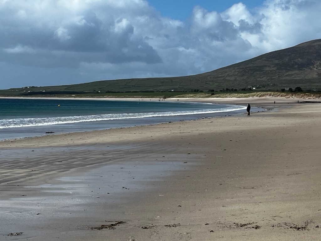
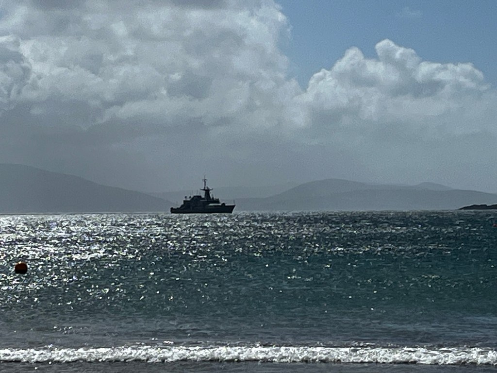
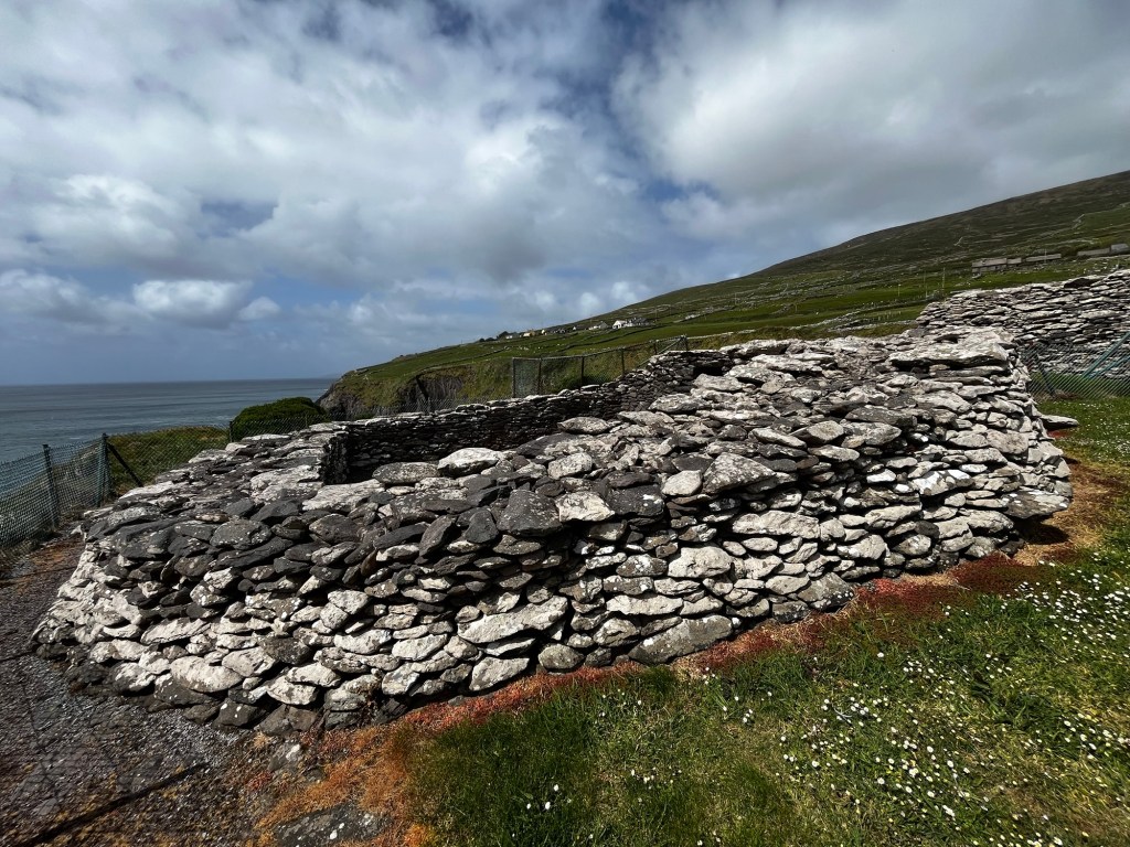
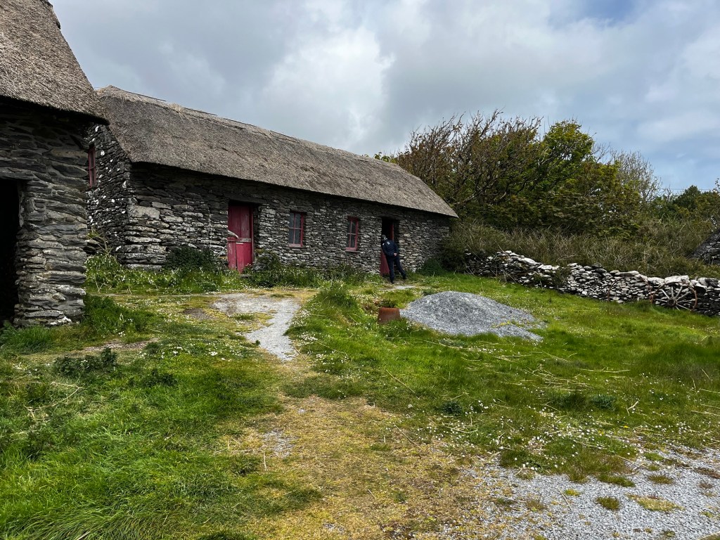
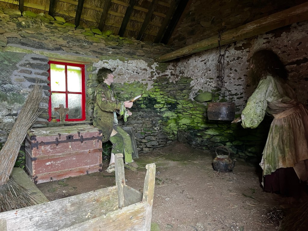
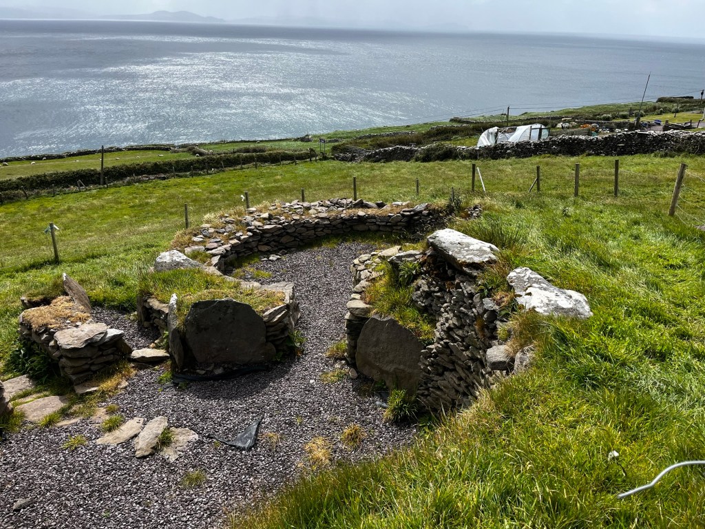
First stop was Ventry Beach, which was lovely but strangely had an Irish warship anchored in the bay. This was followed by some quite dodgy tourist attractions. Dun Beag Fort had collapsed a few years ago, the Famine Cottages weren’t bad but the Beehive Huts were a rip off.

Continue reading

Ring of Kerry Part Two

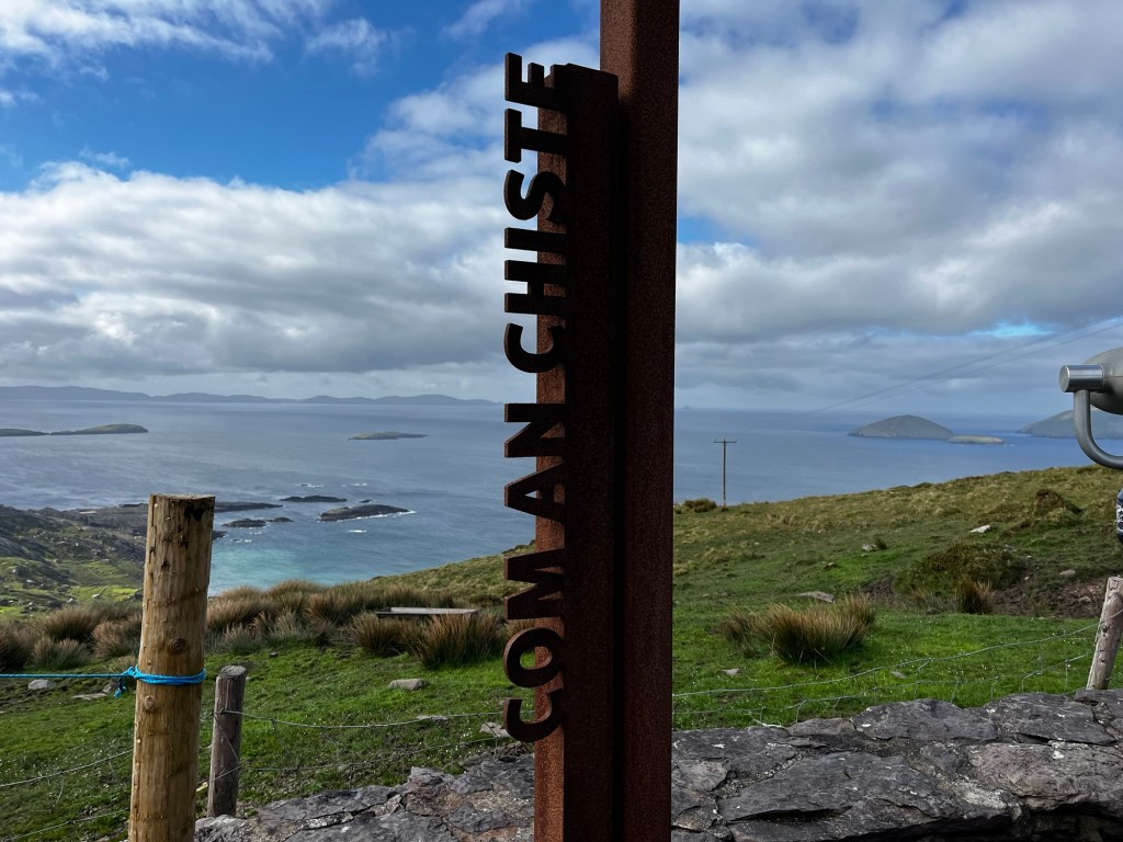
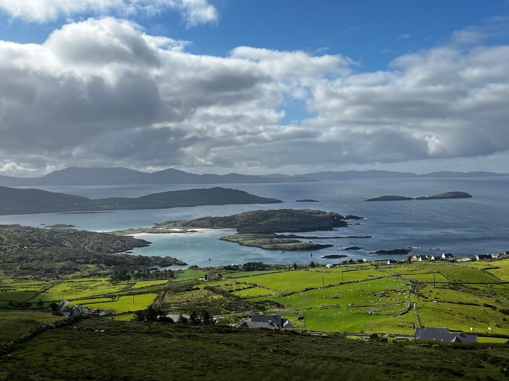
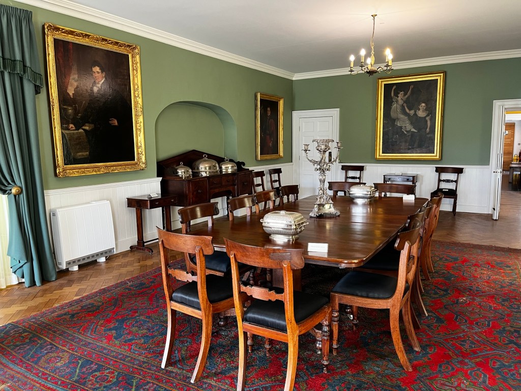
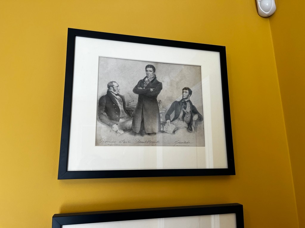
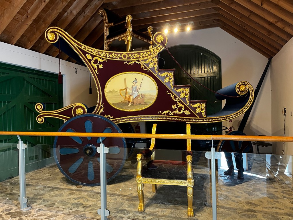
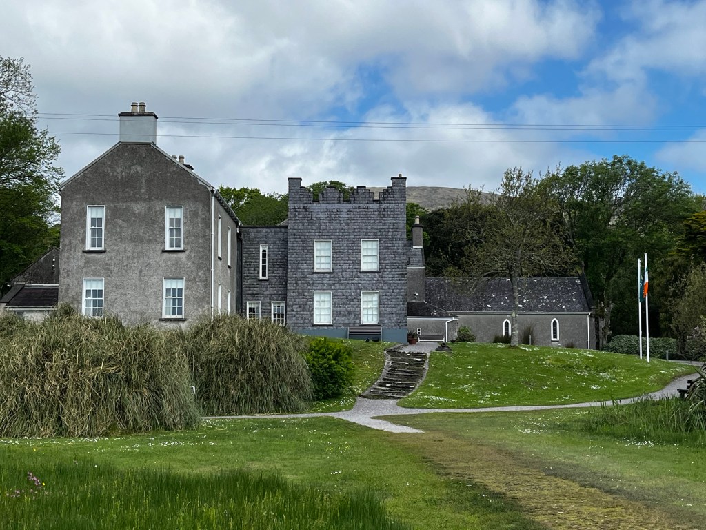
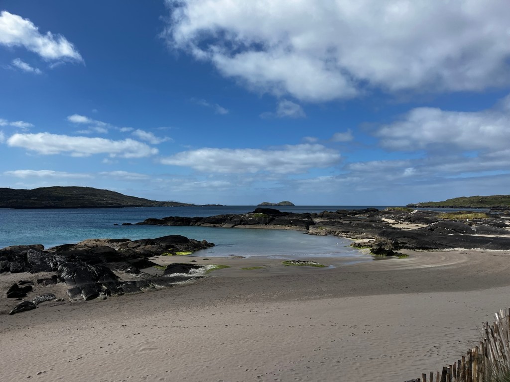
We continued our tour of the Ring of Kerry on Tuesday, May 12. We left our park up at Portmagee at 09.00 and continued anti clockwise. First stop was the Coman Chiste view point (The Wild Atlantic Way has various viewpoints along its route). We looked over to the beautiful Derrynane Beach, where Daniel O’Connor’s house was situated. We drove onto the house where he lived when not in Dublin or London. Really interesting to discover more about the man who helped repeal the anti Catholic laws in the 1800s, including a huge chariot that he used when he was released from jail for sedition.

Then onto Sneem, sweet village, and Sneem Seaweed Baths for a much anticipated soak in a hot tub. The seaweed is foraged locally and the vista is gorgeous.

After a quick look around Sneem we made our way back to Killarney for a food shop, LPG refill and fuel top up before leaving the Kerry peninsula to make our way to the Dingle peninsula. Our park up for the night was at Inch Beach (P4N#289375). Gorgeous 5km beach but very windy. Dinner in the van before the rain absolutely lashed it down.

Miles since last blog: 98

Miles this trip: 1,038

Ring of Kerry Part One

Sunday, May 10 started sunny but with a very cold wind blowing that was going to be with us for a few days. We left our campsite around 09.15 to start our exploration of the Ring of Kerry. This is a 170km road trip around the Kerry peninsula. We had done a little bit of it from Molls Gap to Killarney but there was still a lot to do. The tour buses do it anticlockwise so we did the same so that we didn’t have to pass them on the narrow roads.

Ring of Kerry from Killarney
Continue reading

Killarney

We left Molls Gap around 09.20 to make our way to Killarney, where we were going to base ourselves for a couple of days. We were now on the Ring of Kerry and you could tell it was on all the bus tours of the country! Suddenly, there was an explosion of people, cars and buses. Very different to the previous couple of weeks.

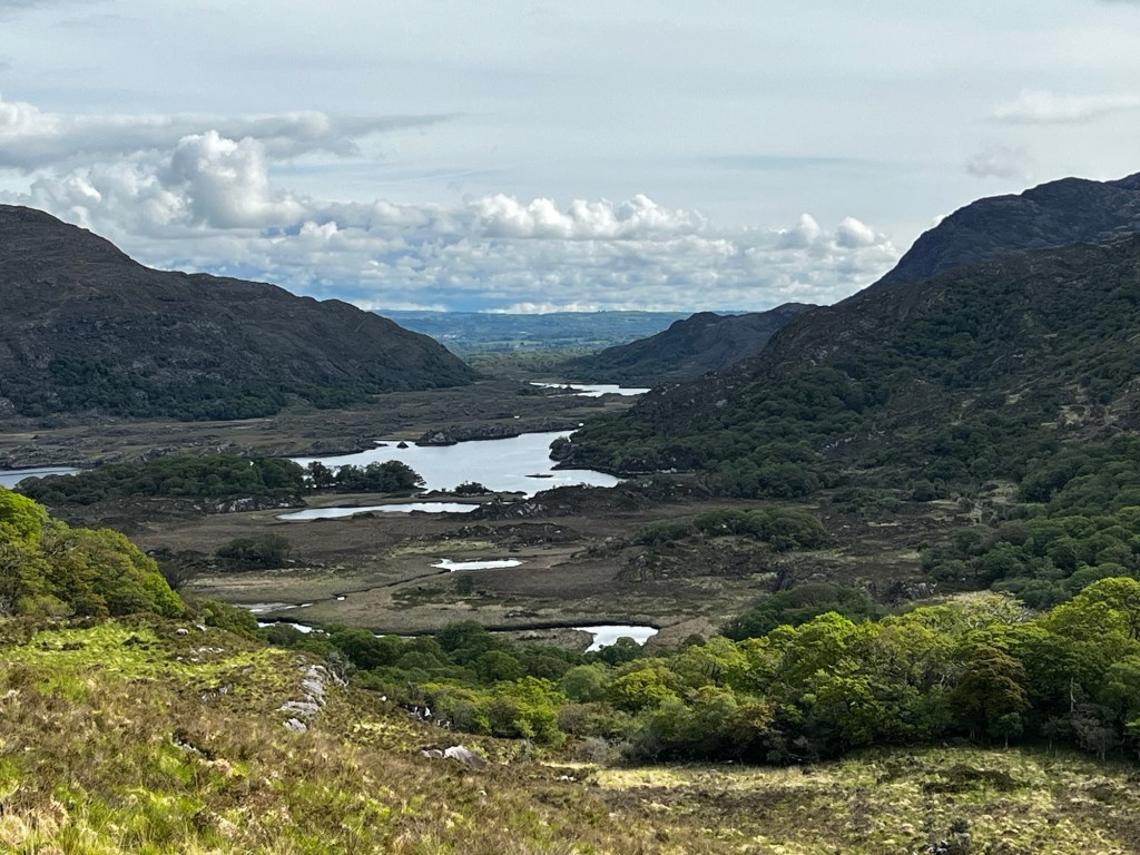
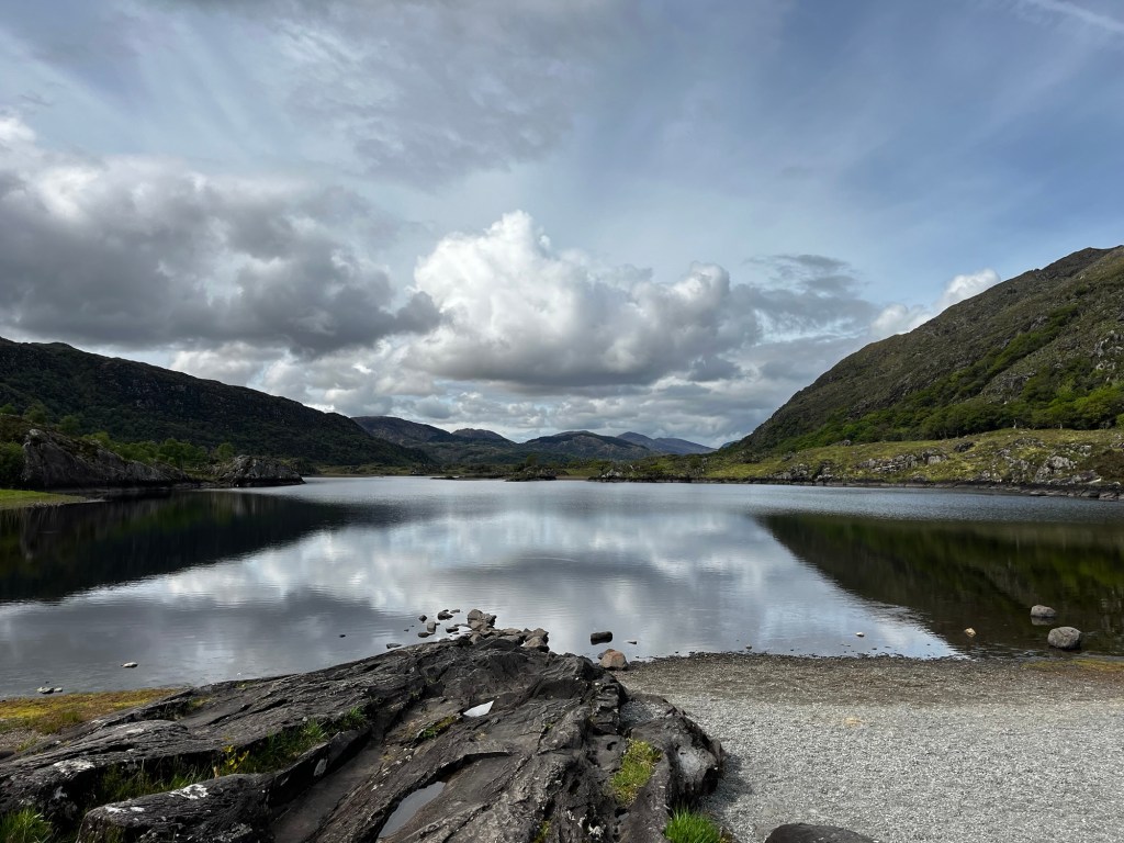
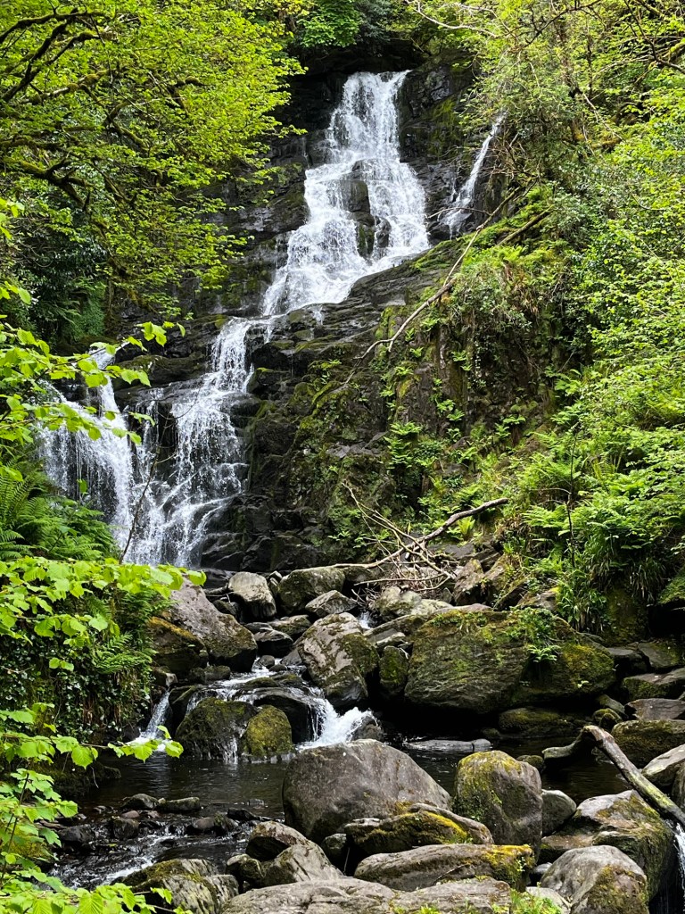
Our first stop was Looscaungh Lough viewpoint. It wasn’t on the list for tour stops so it was easy to park. Next onto Ladies View where allegedly Queen Victoria’s Ladies in Waiting stopped to look over towards Killarney. It is a magnificent view and part of the National Park. Then the Torc Waterfall where the car park was rammed so we turned around and went back up the road to a quieter one and had a lovely walk along paths to the waterfall. It was quite sweet but not a patch on other waterfalls we’ve seen on our travels. I know, we have been spoilt!

Continue reading

Zetland Pier to Molls Gap

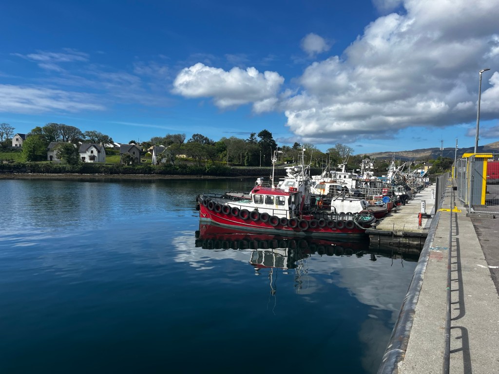
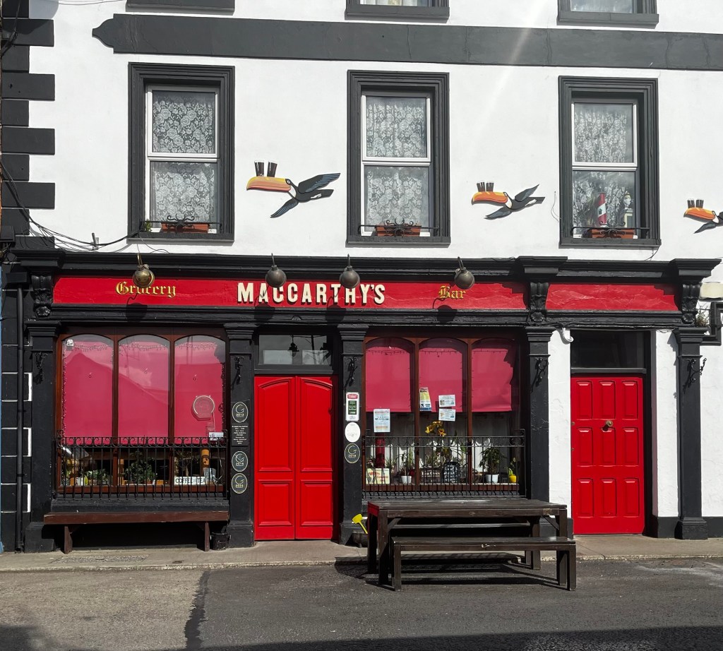
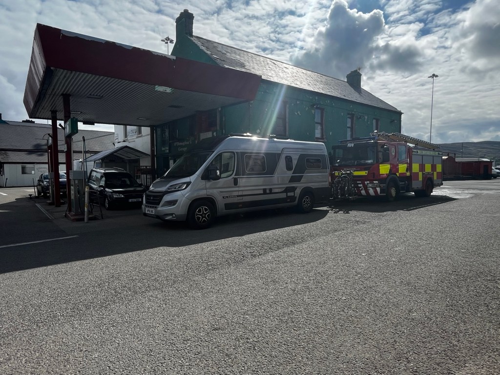
The midges came back with the sunrise so we left pretty promptly on Wednesday morning. We drove to Gour Viewpoint via Castletownbere, which is a sweet harbour town that had its own van parking spots (P4N#90963). It’s a working harbour and famous, apparently, for MacCarthy’s Bar ( name of a novel by Pete McCarthy) and it also had a garage that Maria and Jane needed to call into.

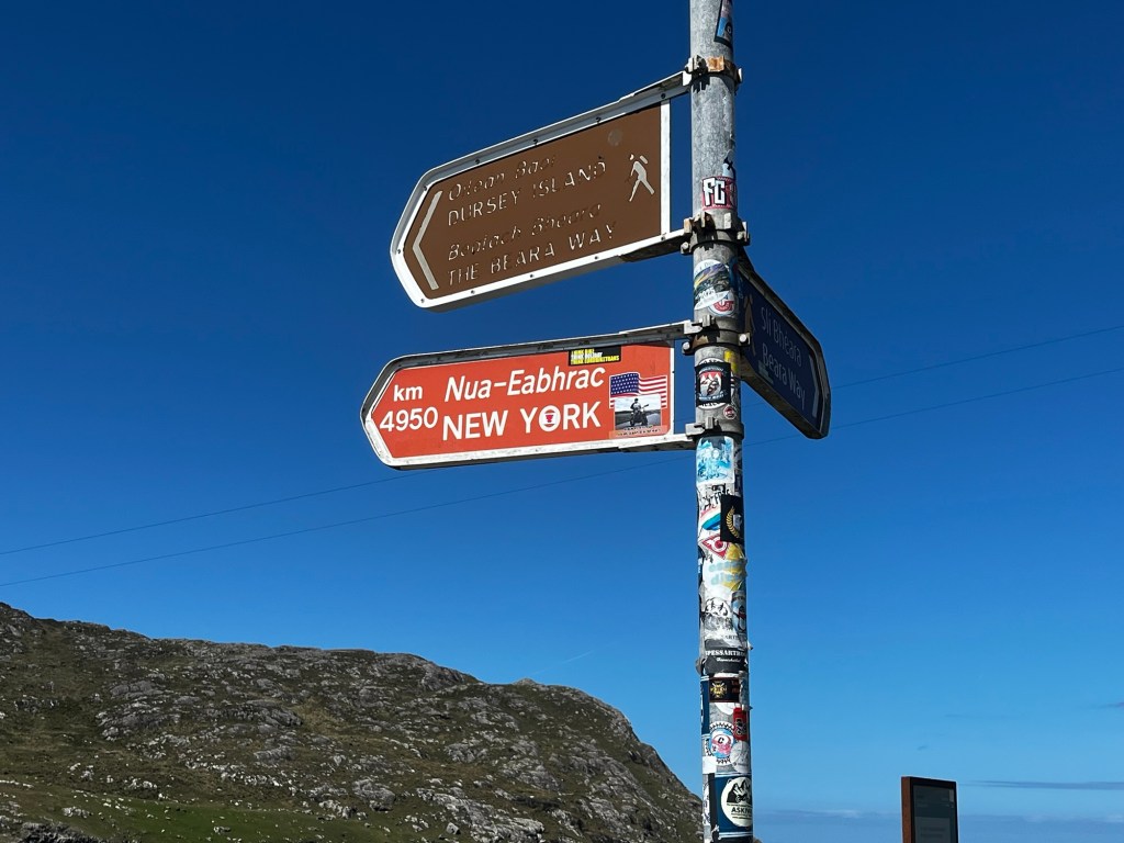
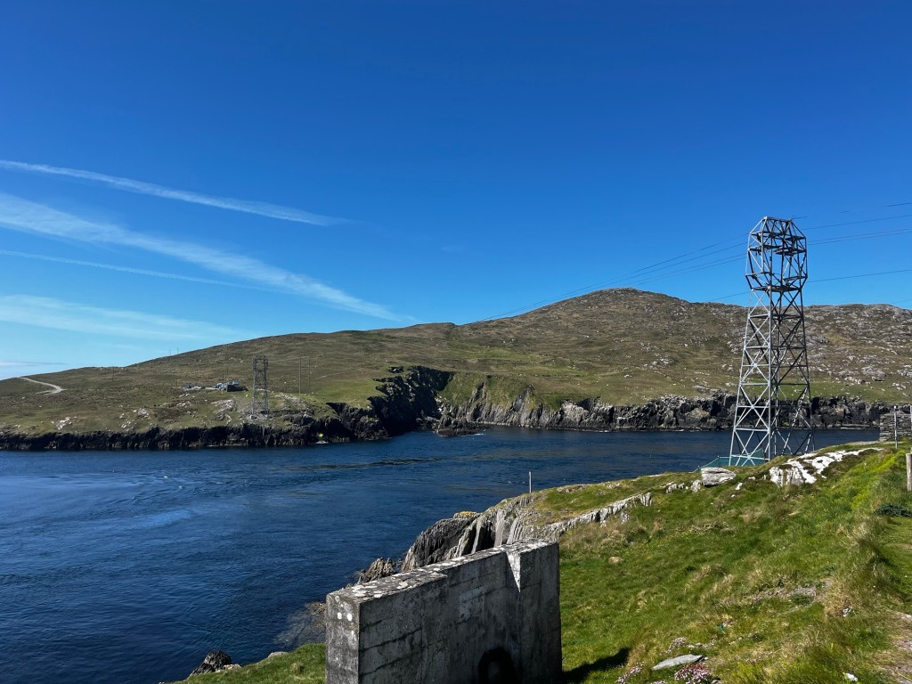
We then drove onto the Ballagh Bay Cable Car to get over to Dursley Island. Unfortunately, the 1960s cable car had a mechanical fault and stopped working just before we arrived. It was a shame as it had been a long drive down narrow lanes.

We decided to move on to find a spot for lunch and stopped at Ballydonegan beach. Beautiful place where the sand is actually made from crushed quartz from the nearby copper mines.

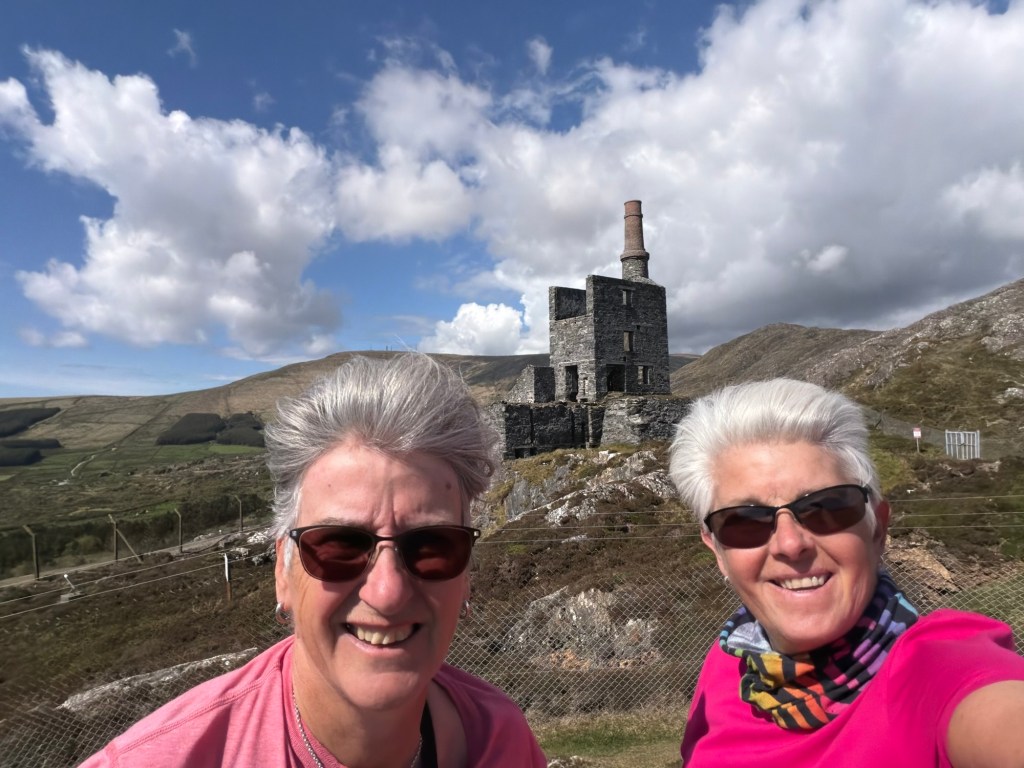
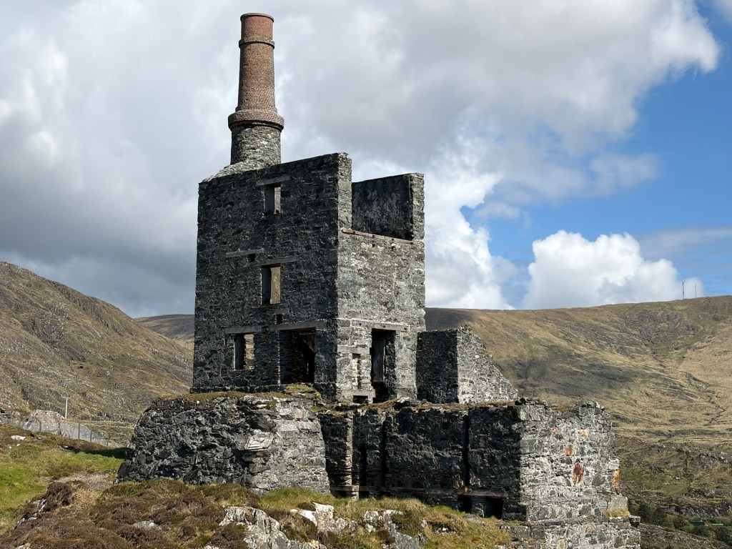
The copper mine industry in nearby Allihies in the 1700s was one of the biggest in Europe at the time. The Copper Mine Museum in this brightly coloured town was very informative and you could then walk on trails to some of the ruined mines. Very evocative.

We then headed back towards Castletownbere via Dooneen and Travara Beach as our night stop was Berehaven Golf Club (P4N:79035).

They had set up an aire in the Golf Club car park with all the facilities and they even leave the club house open at night so you can use the showers and toilets. There’s an honesty box to pay the €25 nightly fee. They even encourage campers. We did learn from a regular visitor that the club got a grant to make the track to the club a proper road on the understanding they developed the camping side. Great facility and lovely golf club. We ate in the van again as the restaurant at the club is only open at weekends.

Berehaven Golf Club

The next morning, Thursday May 7th, we played 9 challenging holes with some stunning views over to Bere Island.

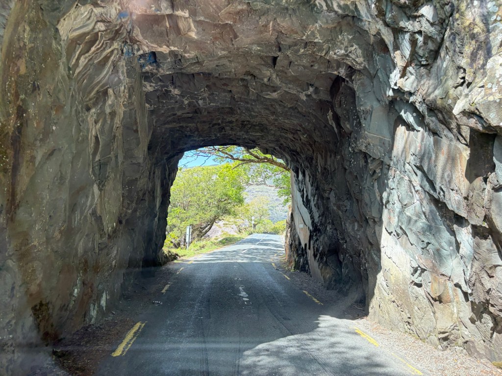
After availing ourselves of another shower (get them whilst you can) we set off at around 14.00 to tour the north side of the Beara Peninsula. We went in search of Cuas Pier caves that involved very narrow lanes with few passing places but sadly didn’t find them. We stopped for lunch at Killmackillogue Discovery Point with views over to the Kerry Peninsula. Later we spent a very pleasant hour or so in Kenmare with its pretty houses and tourist shops before making our way towards Moll’s Gap, high up in the hills.

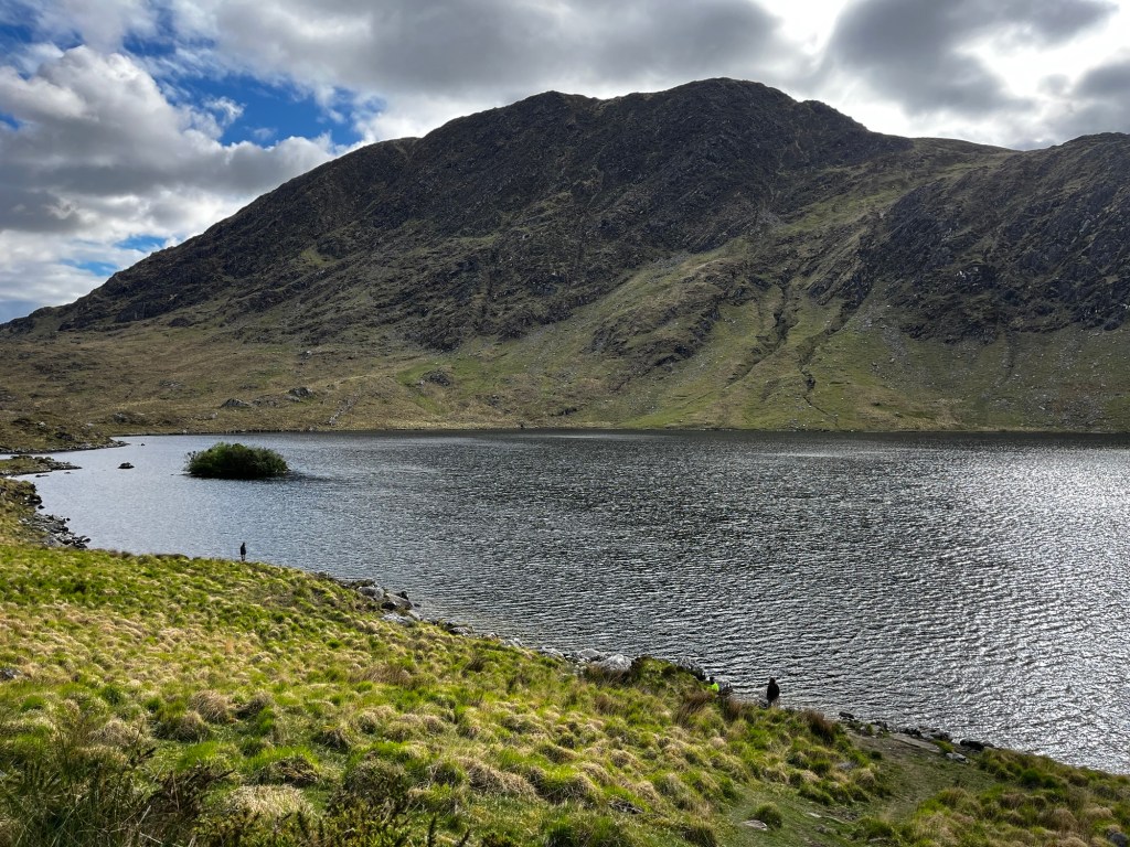
Our stopover for the night was a large lay-by off a road near to the Gap overlooking Lough Barfinnihy. (P4N#406844). We arrived around 18.00 and there was only a couple of spots left as a number of cars were parked there for fishing in the lake. They left before dusk and several more vans arrived. A pretty, remote spot but again the midges descended!

Miles since last blog: 102

Miles this trip: 825

Bantry to Derreenacarrin

Despite being next to a main road, we slept well in the marina – probably something to do with the rich food and copious amounts of beer! Tuesday, May 5 began chilly but with blue skies.

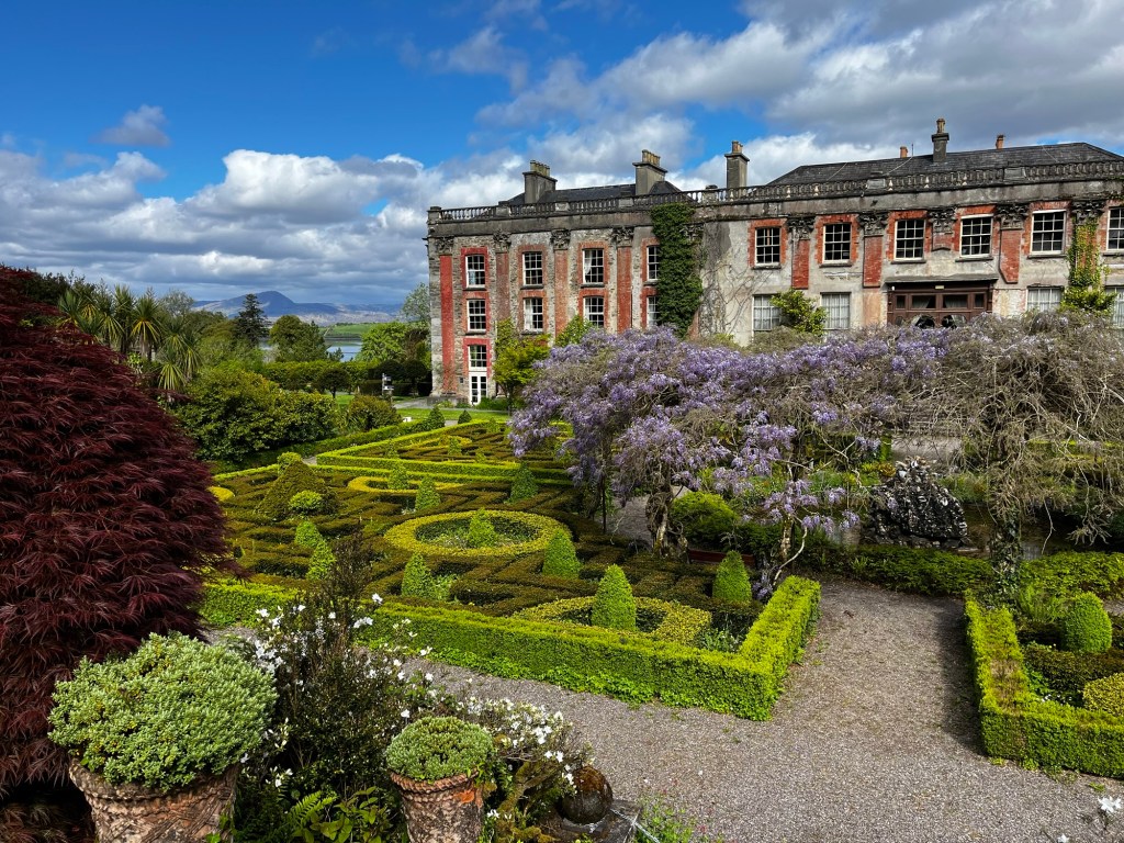
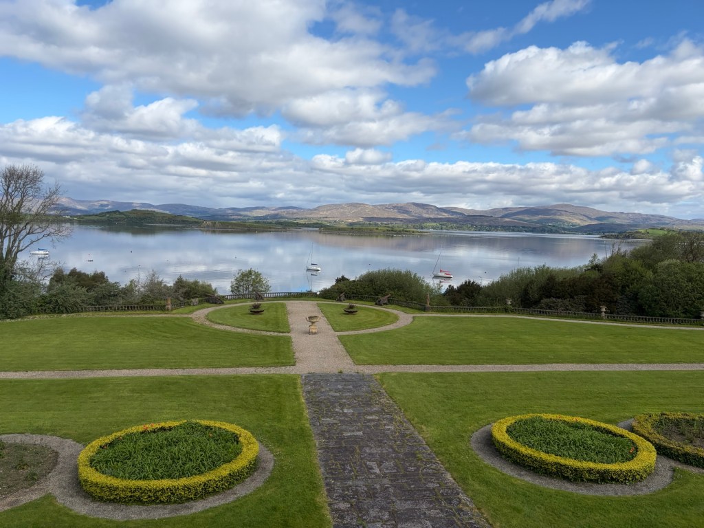
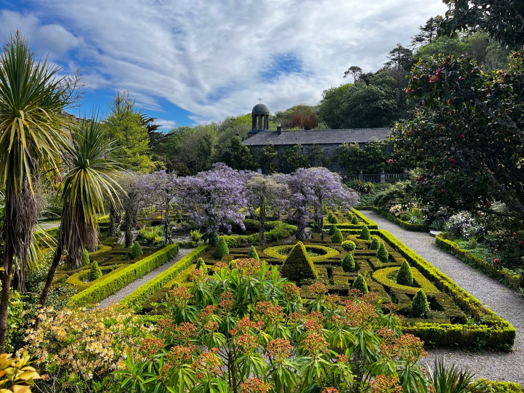
We wanted to see Bantry House and Gardens as it was one of the must see places in the area. It opened at 10.00 and we walked from the marina to save moving the van. The house has been in the White family since 1729 and the family still live there. There’s an air of faded elegance to the place. Slightly rundown but full of treasures from the family’s travels. The estate was once 80,000 acres through judicious marriages and canny purchases. Now it’s a mere 150 acres. The front garden had magnificent views over Bantry Bay.

Continue reading

Lighthouses and marinas

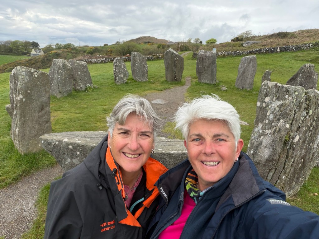
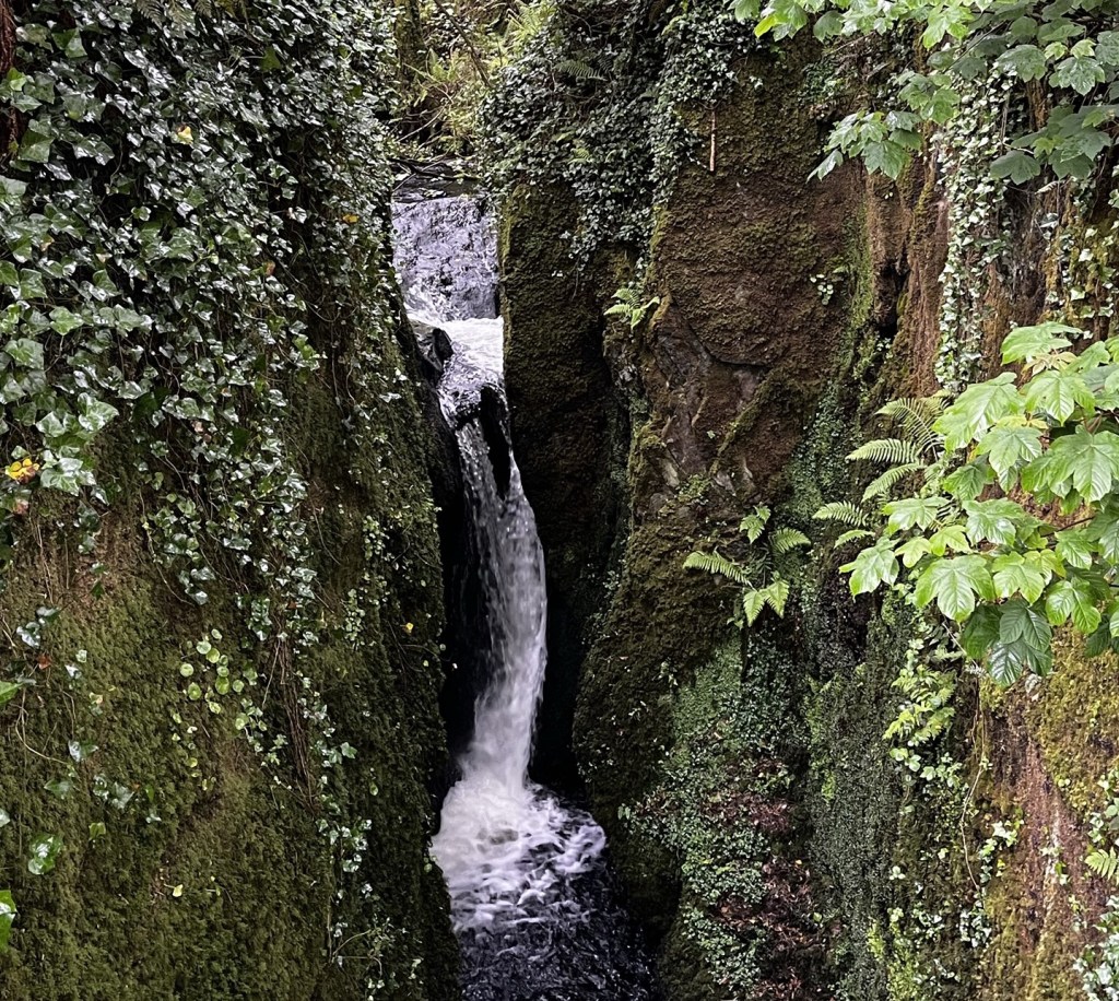
Yet another peaceful night in Dora and we awoke on Sunday, May 3 in the car park of Camus Farm to stunning views across the fields. We left relatively early for us at 09.10 as we had booked a ferry trip to go round to the Fastnet Rock Lighthouse at 14.00 from Baltimore and we wanted to visit a few places on the way. First stop was the Drombeg Stone Circle that was created around 150BC with an altar stone that is aligned to where the sun sets on December 21 (Winter Solistice). Next, we saw the waterfall at Leap village. According to legend, many people escaped the law by disappearing into the dense forest around Leap.

Continue reading

Clonakilty and Galley Head

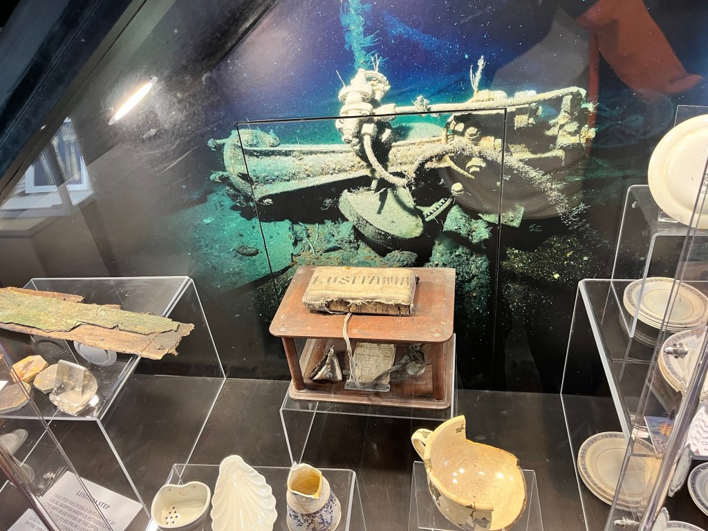
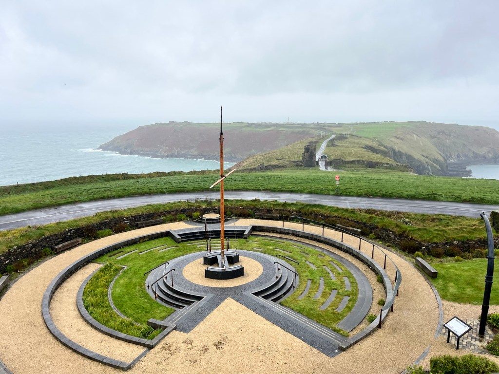
Wednesday night at Charles Fort was a bit blustery as we were high up but it was still a peaceful one. We left around 09.30 on Thursday to make our way down towards Old Head of Kinsale to visit the Lusitania Museum. The sinking of the Cunard passenger ship in 1915 by a German U Boat was instrumental in the USA joining the First World War as there were many Americans on board. No one survived. The ship sank very quickly when a second explosion occurred soon after the first. At the time it was thought the U Boat had fired a second torpedo. The more likely reason is that it was carrying ammunition for the British Army! The museum itself is in the old Signal Point that had been established during the Napoleonic Wars to warn of imminent attack along the west coast of Ireland. Unfortunately, the weather was pretty miserable so the views weren’t great!

Continue reading

Cobh and Kinsale

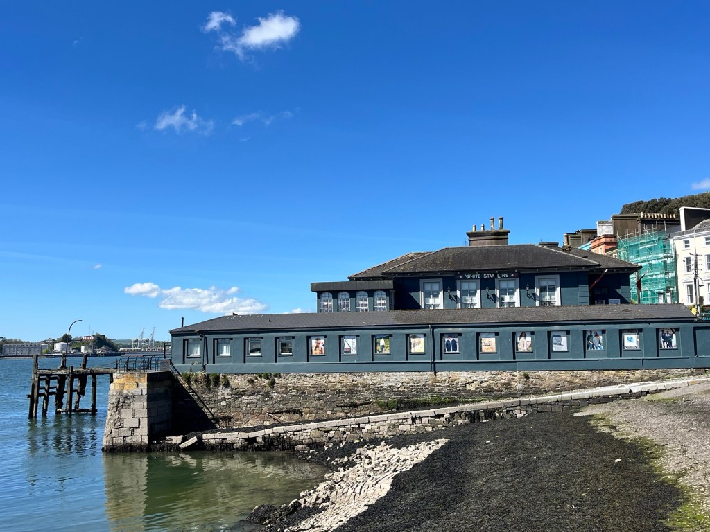
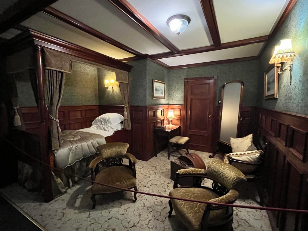
Tuesday, April 28, was another lovely day so we were up at the crack of to get to Cobh (pronounced Cove) as we had tickets for the Titanic Experience at 09.00. We found a great park up next to the waterfront (P4N#13454) and a 15 min walk along the front to the old White Star Line Ticket Office – the last port of call of the Titanic before that fateful night of April 14/15 1912. Cobh used to be called Queenstown, renamed in honour of Queen Victoria’s visit there but was changed to Cobh after independence. Whilst small, it was a well guided tour with lots of artefacts and videos. Good value for money.

Continue reading

Waterford to Ardmore

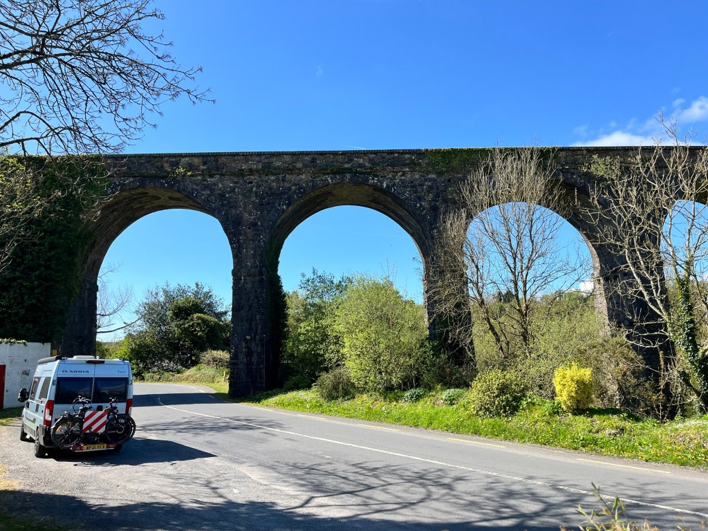
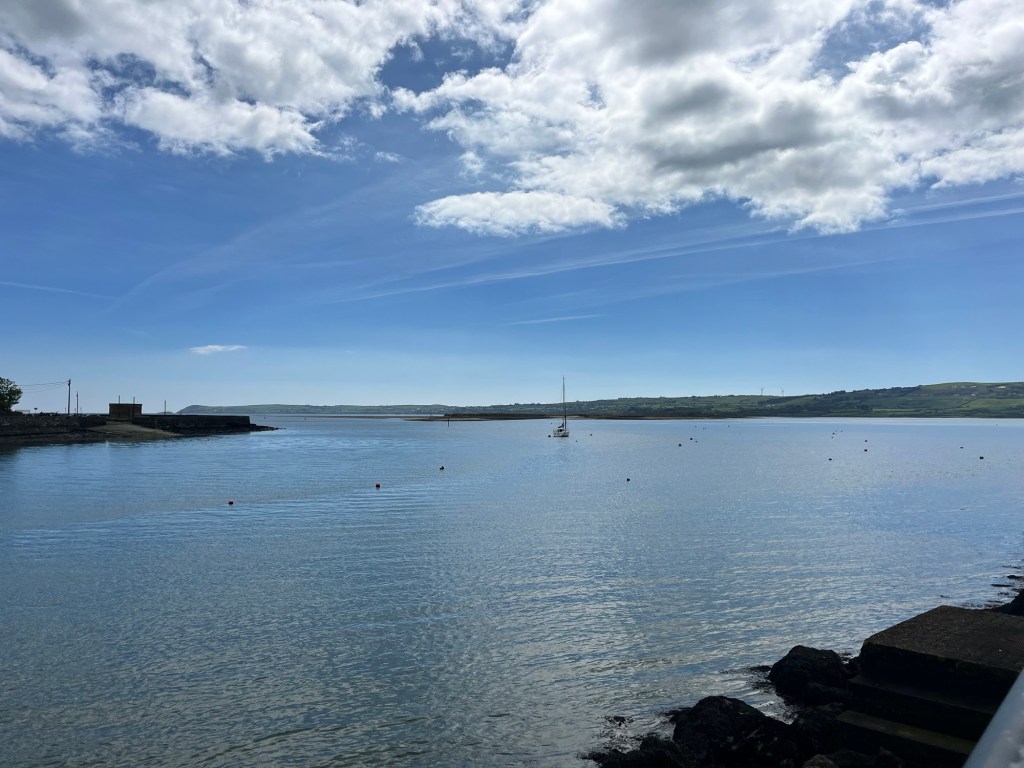
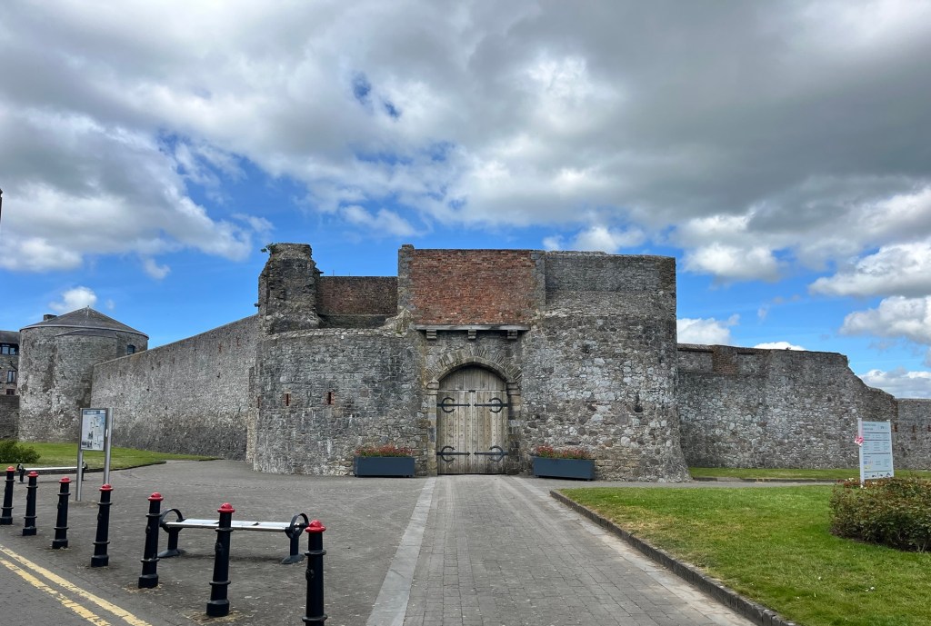
Whilst we had a peaceful night’s sleep in the golf club car park, the greenkeepers appear to start work before 06.00 on a Monday morning! However, they did try to keep the noise down as much as possible. We left there around 09.45 to drive to Dungarvan via The Magic Road. It’s a road in the hills where you, apparently, go uphill when stationary. Clearly an optical allusion but we couldn’t find the spot to confirm it! We then diverted back to the viaduct at Kilmacthomas that was part of the Waterford to Dungarvan Greenway before going onto Dungarvan, a harbour town with a fort and, more importantly, a good supermarket. What was even better was that the supermarket (SuperValu) gave us several hours free parking so we could do the shop and then explore the town.

Continue reading

Waterford

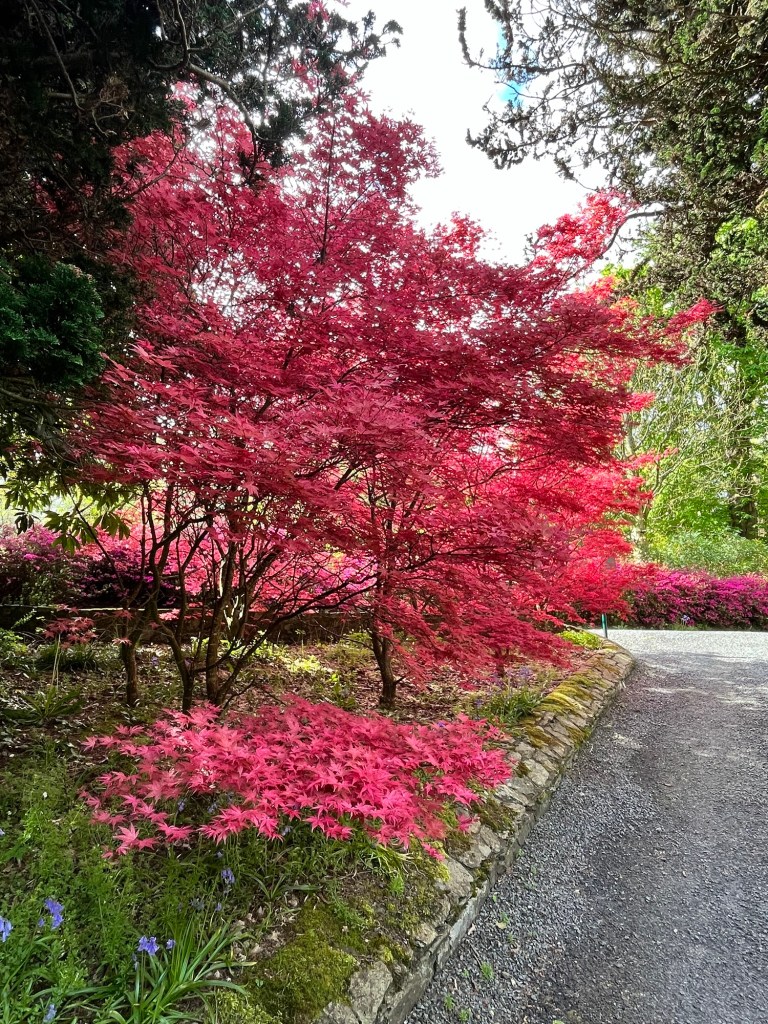
Saturday, April 25 was a beautiful day and perfect to explore Waterford city and surrounds. We were perfectly placed on the greenway to visit both Mount Congreve gardens and the city itself. The gardens were magnificent and literally next door to our park up. They also had loos which is always a bonus!

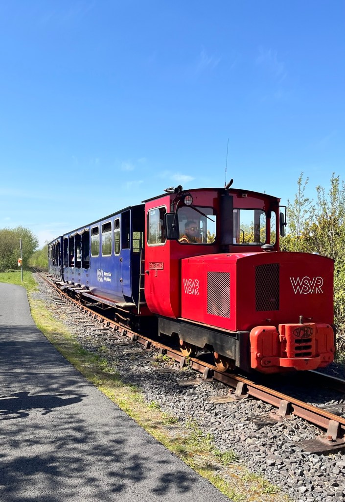
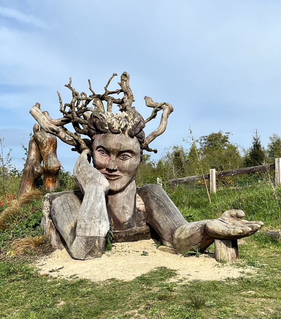
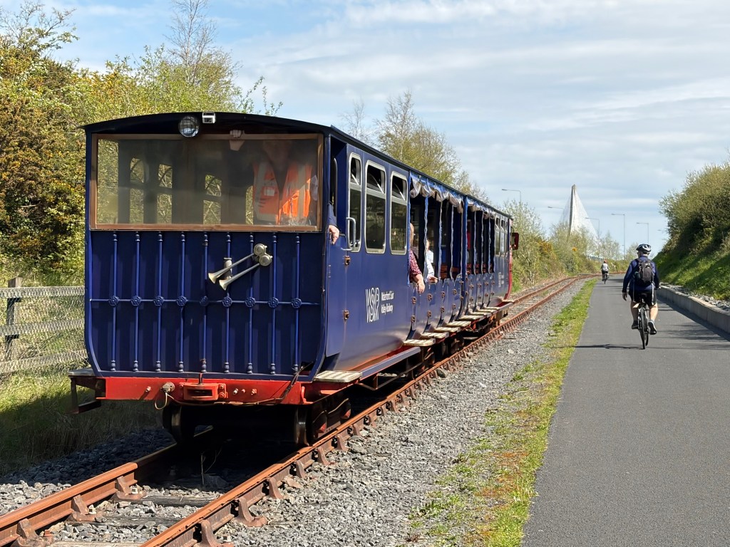
After a lovely couple of hours walking around the gardens, we then cycled into town along the Waterford Greenway. It obviously well used and well cared for. It stretches for over 45km from Waterford to Dungarvan. A joy to cycle into a city safely and away from cars. It even had a tourist train for part of the way with various art installations.

Continue reading